What is recorded here
In low-lying ground on the N bank of the Ward River. A cropmark of a levelled, roughly circular feature visible on an aerial photograph taken in 1965 (BKS 70998). A housing estate occupies the site. Not visible at ground level.
Compiled by: Geraldine Stout
Date of upload: 26 August 2011
The monument record does not grant public access. Check the route and ask the landowner before entering private land.
- What survives
- Recorded monument
Places near here
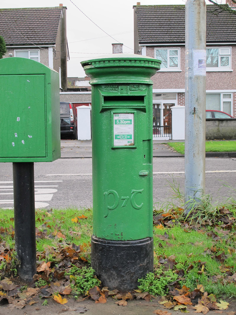 post boxpost box · 309 yd
 St John the Evangelist Church of Ireland Churchchurch/chapel · 450 yd
 St. Johns Church on site of ChurchEcclesiastical enclosure · 479 yd
 St. Brendans WellHoly well · 556 yd
 Ayrfied UnitedHeritage attraction · 644 yd
 Stardust MemorialMemorial · 1674 yd
 All Saints Boundary WoodsWood · 1.2 mi
 Millennium ArboretumWood · 1.3 mi
 Bull Island Nature ReserveVisitor information · 1.5 mi
 Hermit's CaveMonument · 1.6 mi
 EolasVisitor information · 1.9 mi
 Battle of ClontarfMajor battlefield · 1.9 mi