What is recorded here
On a low-lying, level landscape. Circular area (diam. c. 20m) defined by a fosse (Wth 1.5-1.8m; D 0.45m), which was partly revealed in excavation (05E0394) by C. Read (2008f) in 2005. Charcoal and fragments of cremated bone were recovered, and the monument remains preserved. It is likely to be the same feature as the enclosure (RO011-057----).
Compiled by: Michael Moore
Date of upload: 24 August 2010
The monument record does not grant public access. Check the route and ask the landowner before entering private land.
- What survives
- Recorded monument
Places near here
 IndicatedFairy fort / earthen ringfort · 98 yd
 bridgebridge · 657 yd
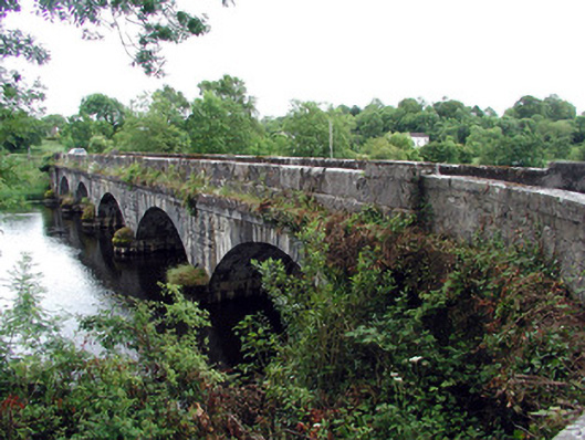 Jamestown Bridgebridge · 667 yd
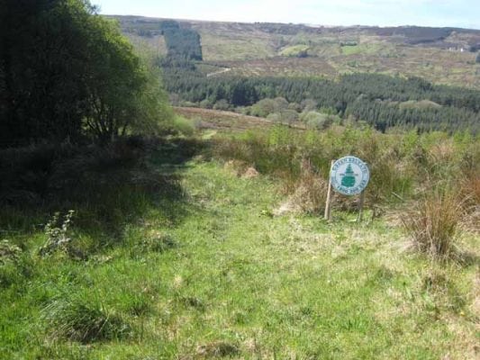 Embanked enclosureFairy fort / earthen ringfort · 768 yd
 Patrick Gill Memorial Plaque (IRA)Monument · 796 yd
 Robert Strawbridge MemorialMemorial · 925 yd
 Wildlife AreaNature reserve · 1020 yd
 Site of Dangan CastleCastle, unclassified · 2.2 mi
 Moon RiverHeritage attraction · 3.3 mi
 InishmoylinIslet · 4.0 mi
 Coarse IslandForest · 4.2 mi
 Dockery's IslandIslet · 4.3 mi