What is recorded here
An aerial photograph (GB90.CG.25) shows a cropmark of a ring-ditch (diam. c. 5m). A second ring-ditch (WX048-158001-) is attached immediately to the N.
Compiled by: Gillian Barrett, Michael Moore
Date of upload: 24 February, 2012.
The monument record does not grant public access. Check the route and ask the landowner before entering private land.
- What survives
- Recorded monument
Places near here
 IndicatedField system · 581 yd
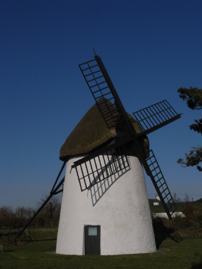 mill (wind)mill (wind) · 719 yd
 Windmill (Corn) (Disused)Windmill · 719 yd
 Ballymacane CastleCastle, unclassified · 743 yd
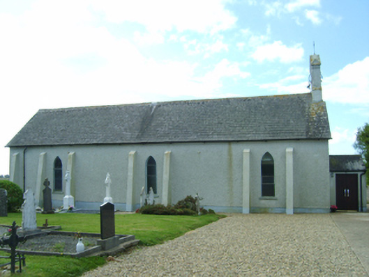 Saint Catherine's Catholic Churchchurch/chapel · 802 yd
 Castle (in ruins)Castle, tower house · 1556 yd
 Wilson's MoorWood · 1.2 mi
 The HamBay · 1.5 mi
 Sigginstown Island (Great)Island · 1.5 mi
 Sigginstown Island (Little)Islet · 1.7 mi
 Lady's IslandVisitor information · 2.0 mi
 The Bull RockForest · 2.7 mi