What is recorded here
Located on a level landscape with a small NW-SE stream c. 70m to the NE. A small circular feature (diam. c. 15m) is attached to the NE of ring-ditch (WX047-133001-) on aerial photographs (MM (46) 4-7; (49) 11, 12, 24-5). It may have an internal pit but the perimeter at NW is largely absent. It is also visible on the OSI series of aerial photographs (2000).
Compiled by: Michael Moore
Date of upload: 14 October, 2013
The monument record does not grant public access. Check the route and ask the landowner before entering private land.
- What survives
- Recorded monument
Places near here
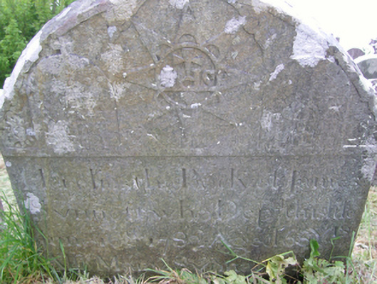 graveyard/cemeterygraveyard/cemetery · 234 yd
 St. Fintans WellHoly well · 312 yd
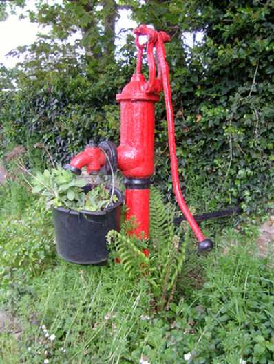 water pumpwater pump · 314 yd
 CastleRuins · 1684 yd
 Not idnicatedChurchyard · 1742 yd
 Castle (Site of)Castle, unclassified · 1.6 mi
 The Heron's MeadowForest · 2.0 mi
 The Bull RockForest · 2.2 mi
 1798 Memorial PlaqueMemorial · 2.5 mi
 Johnstown Castle Visitor CentreHeritage attraction · 3.0 mi
 Irish Agricultural MuseumMuseum · 3.1 mi
 The White Hole BeachBeach / strand · 4.1 mi