
What is recorded here
Ring-ditch in Belcamp is a vanished circular earthwork, buried beneath a college playing pitch and visible only as a faint crop mark seventy metres above the Belcamp River. It may have been a ringfort, a boundary marker or a child's imaginary castle, but the ground still holds its shape after centuries of football and forgetting. The ditch refuses to disappear entirely, drawing moisture from below and marking itself in the grass whenever rain soaks the soil.
A circular ring-ditch visible as a crop mark on an aerial photograph (SMR file; pers. comm. T. Condit). Situated within an open field of tillage on what was once one of Belcamp College's playing pitches jc.70m north of a steep scarp which descends to a stream known as Belcamp River (Mac Shamhráin 1984, 141). There is a tradition of a ringfort on the grounds of the Oblate College at Belcamp Hall. It appears as a cropmark on an aerial photograph (OS 5092) and is visible on Bing aerial (viewed 27/01/2015). The cropmark is almost circular in plan (diam. c. 25m). Not visible at ground level.
Compiled by: David O’Connor
Updated by: Christine Baker
Date of upload: 27 January 2015
The monument record does not grant public access. Check the route and ask the landowner before entering private land.
- What survives
- Recorded monument
Places near here
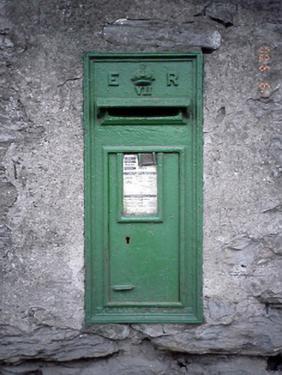 post boxpost box · 385 yd
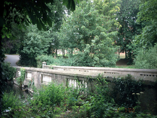 Belcamp Hallbridge · 390 yd
 Ring-ditch in Clonshagh (coolock By., Kinsaley Ed)Ring-ditch · 553 yd
 Earthwork in BelcampEarthwork · 924 yd
 St Catherine's WellSpring · 1066 yd
 Ayrfied UnitedHeritage attraction · 1285 yd
 Stardust MemorialMemorial · 1.3 mi
 Map of Baldoyle Industrial EstateVisitor information · 1.6 mi
 CastleCastle, unclassified · 1.8 mi
 Strand Mill RuinsRuins · 1.9 mi
 EolasVisitor information · 2.1 mi
 Black WoodWood · 2.5 mi
Other information
Photo: Credit not shown in the picture search · Rights wording not checked; contact us if this picture should be removed