What is recorded here
Situated in pasture. An isolated hearth (LI021-185----) lies 70m to SE. Monument identified in 1999 as a possible prehistoric settlement during monitoring of topsoil-stripping on the N20/N21 Adare to Annacotty Road Improvement Scheme (Eogan and Finn 2000, 158-9). It was excavated (License No. 99E0324) by James Eogan and Damian Finn and was described as a penannular-shaped ring-ditch (overall diam. 7m) with the ditch (max. D 0.5m) having a U-shaped profile. The pattern of silting in the ditch may suggest that there was an external bank. The main fill of the ditch was a charcoal-rich silt in which fourteen token deposits of cremated human bone were found (Eogan and Finn 1999, 1). One of the deposits contained a copper-alloy spiral ring (NMI Reg. No. 99E0324:5:29 & 30) and part of a decorated bone (NMI Reg. No. 99E0324:5:2) that is similar stylistically to a gaming-piece found in a cremation under a barrow at Cush, Co. Limerick (ibid). These artefacts suggest an Iron Age date for the filling of the ditch and the deposition of the cremations. Monument is not visible on Digital Globe orthophotos taken 2011-13 or on Google Earth orthoimages taken 28/06/2018.
See attached Google Earth orthoimage.
Compiled by: Alison McQueen and Vera Rahilly
Date of upload: 6 August 2020
The monument record does not grant public access. Check the route and ask the landowner before entering private land.
- What survives
- Recorded monument
Places near here
 Settlement desertedSettlement deserted, medieval · 374 yd
 Killasragh Infants' Burial GroundArchaeological place · 433 yd
 bridgebridge · 460 yd
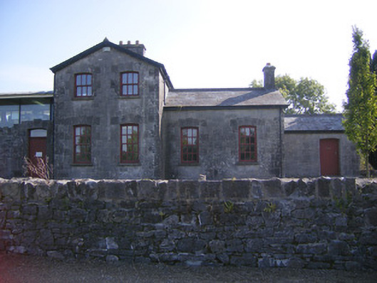 Patrickswell Railway Stationrailway station, signal box · 542 yd
 Ballinveala Castle (in ruins)Castle, tower house · 1.9 mi
 Castle FieldCastle, unclassified · 2.4 mi
 European ashEuropean ash · 4.0 mi
 Biodiversity in the Maigue CatchmentVisitor information · 4.4 mi
 Dysert AenghusaHeritage attraction · 4.5 mi
 Monasteranenagh AbbeyHeritage attraction · 5.3 mi
 Kinnoor WellSpring · 5.8 mi
 Flat cemetery in Kiltenan SouthFlat cemetery · 6.2 mi