What is recorded here
Molly holds a ring barrow or ring cairn from the Bronze Age, a circular mark where ancient hands shaped earth or stone into a boundary. The official record preserves the shape and period while leaving the builders unnamed, suggesting a community that believed a ring could hold more than land. It may have marked a burial, a meeting place or a warning to the careless, but the absence of a named event keeps the ring honest.
The official Northern Ireland record identifies this as RING BARROW OR RING CAIRN. Recorded period: PREHISTORIC; BRONZE AGE. The official map point was placed at the centre of the recorded archaeological site from the source map reference.
Bronze Age ring barrow or ring cairn; likely used as a burial monument or ceremonial site. Its form reflects common funerary practices in prehistoric Northern Ireland, though specific significance remains undetermined due to limited documentation.
The monument record does not grant public access. Check the route and ask the landowner before entering private land.
- What survives
- Recorded monument
Places near here
 STONE ENCLOSURESTONE ENCLOSURE, Cashel? or Sheepfold? · 896 yd
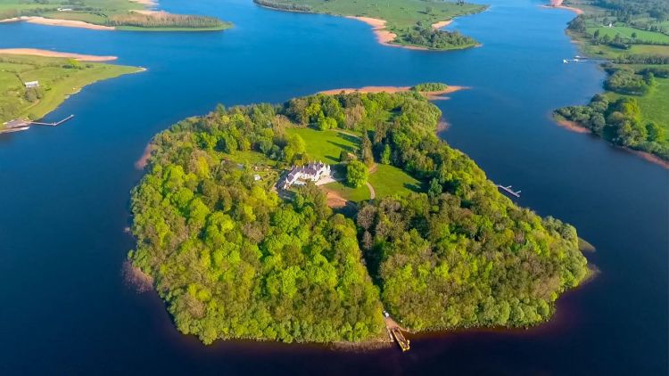 RathArchaeological place · 1241 yd
 Molly MountainMountain / peak · 1241 yd
 CaldraghMountain / peak · 1.5 mi
 MEDIEVAL PARISH CHURCH; GRAVEYARD; HOLY WELL: KINAWLEY CHURCH or CELL NAILE or ST. NAILE'S WELL in LismonaghanMEDIEVAL PARISH CHURCH; GRAVEYARD; HOLY WELL: KINAWLEY CHURCH or CELL NAILE or ST. NAILE'S WELL · 1.6 mi
 PENITENTIAL STATION STONE in KinawleyPENITENTIAL STATION STONE · 1.7 mi
 A Tribute to the BorderbustersMemorial · 2.0 mi
 HawthornHawthorn · 2.2 mi
 RowanRowan · 2.4 mi
 St. Ninnidh's Rc ChurchChurch · 2.5 mi
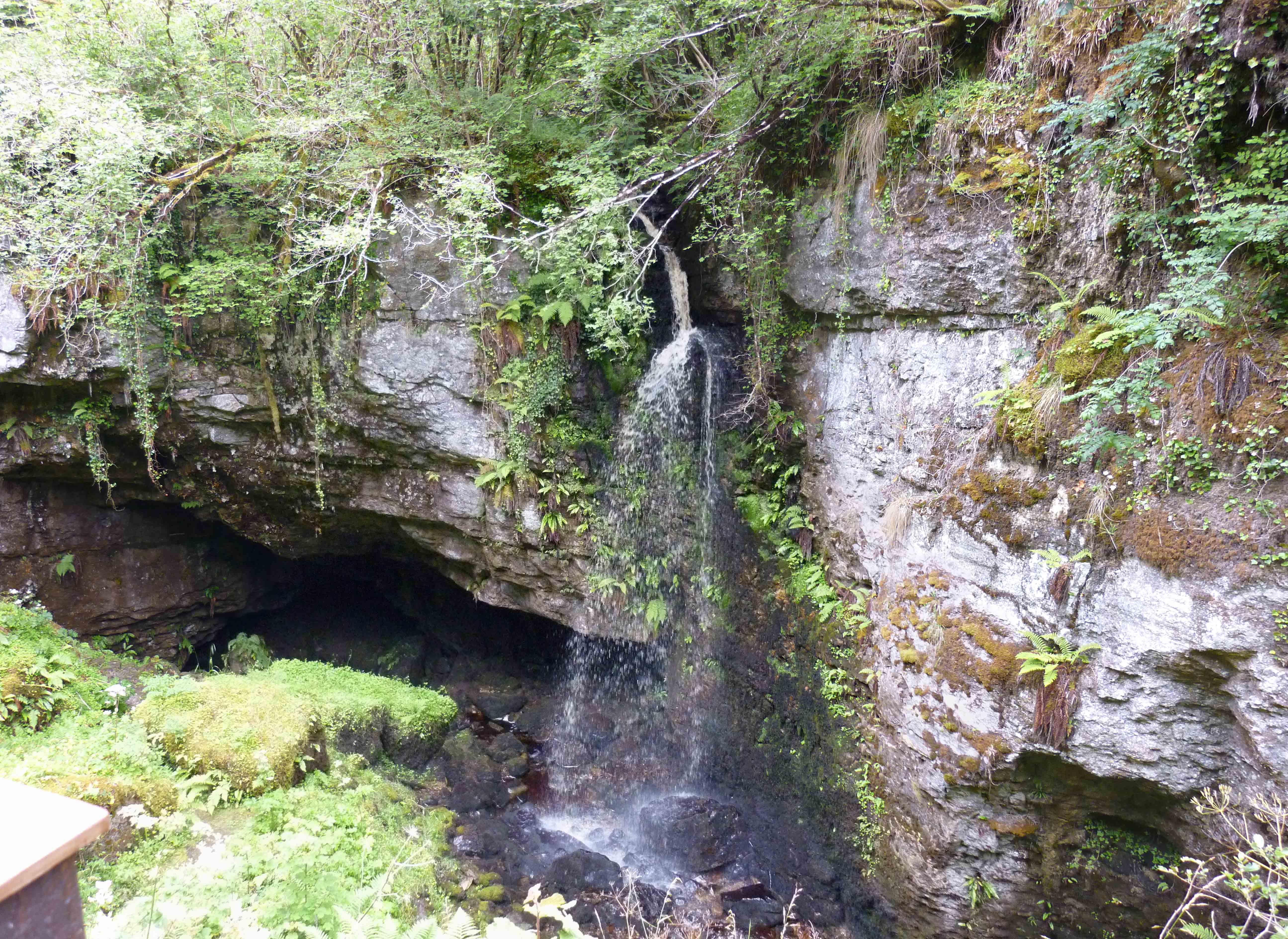 PollnagollumCave · 2.7 mi
 Tory HoleCave · 2.9 mi