What is recorded here
Religmuire is marked only on the 1927 ed. of the OS 6-inch map close to the original St Carthatge's Well (WA021-019008-), and is thought to be the original location of the Romanesque arch (WA021-019019-) in the gateway of the castle (WA012-019001-), c. 180m to the NNE. Archaeological excavation (07E0003) uncovered evidence of medieval settlement and of burials on the probably site of the church (Pollock 2010c).
Pollock, D. (2010c) Lismore castle gardens, Lismore. Medieval settlement and graveyard. in I. Bennett (ed.) Excavations 2007. summary account of excavations in Ireland, 2007, 517, No 1829. Wordwell. Dublin.
Compiled by: Michael Moore
Date of upload: 21 March 2011
The monument record does not grant public access. Check the route and ask the landowner before entering private land.
- What survives
- Recorded monument
Places near here
 Holy well in Lismore (coshmore and Coshbride By.)Holy well · 22 yd
 European YewEuropean Yew · 122 yd
 St. Carthaghs WellHoly well · 141 yd
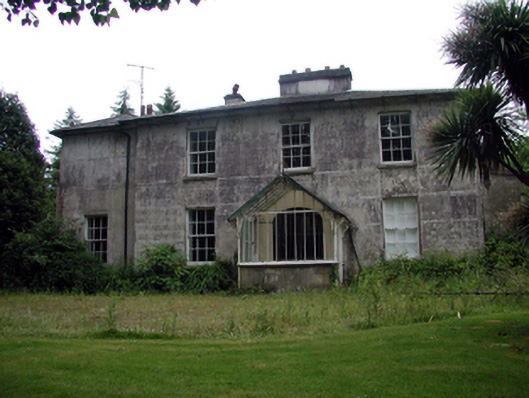 Lismore Villahouse · 190 yd
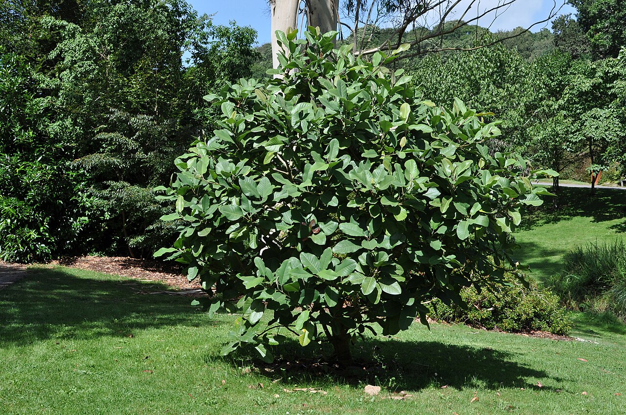 Delavay's magnoliaDelavay's magnolia · 195 yd
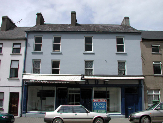 The Arcadehouse · 197 yd
 Ambrose Power MemorialMemorial · 218 yd
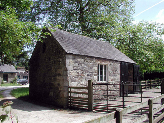 Lismore CastleOfficially recorded historic building · 225 yd
 Lady Louisa's WalkWalking route · 423 yd
 Cottage IslandIslet · 512 yd
 LismoreMemorial · 909 yd
 Ballysaggartmore TowersHeritage attraction · 1.8 mi