
What is recorded here
Ballyaghagan Fort stands as a rectangular enclosure in County Antrim, preserving a medieval shape that still challenges modern assumptions about ancient building. Its sharp edges suggest deliberate craft rather than casual digging, perhaps marking a boundary for trade, worship or resistance. The exact purpose has faded, but the geometry remains clear enough to invite imagination about the people who measured and built it.
The official Northern Ireland record identifies this as RECTANGULAR ENCLOSURE: BALLYAGHAGAN FORT, LISTOLLARD. Recorded period: MEDIEVAL; UNCERTAIN. The official map point was placed at the centre of the recorded archaeological site from the source map reference.
The monument record does not grant public access. Check the route and ask the landowner before entering private land.
- What survives
- Recorded monument
Places near here
 Belfast CastleHeritage attraction · 956 yd
 Belfast Castle Estate TrailWalking route · 959 yd
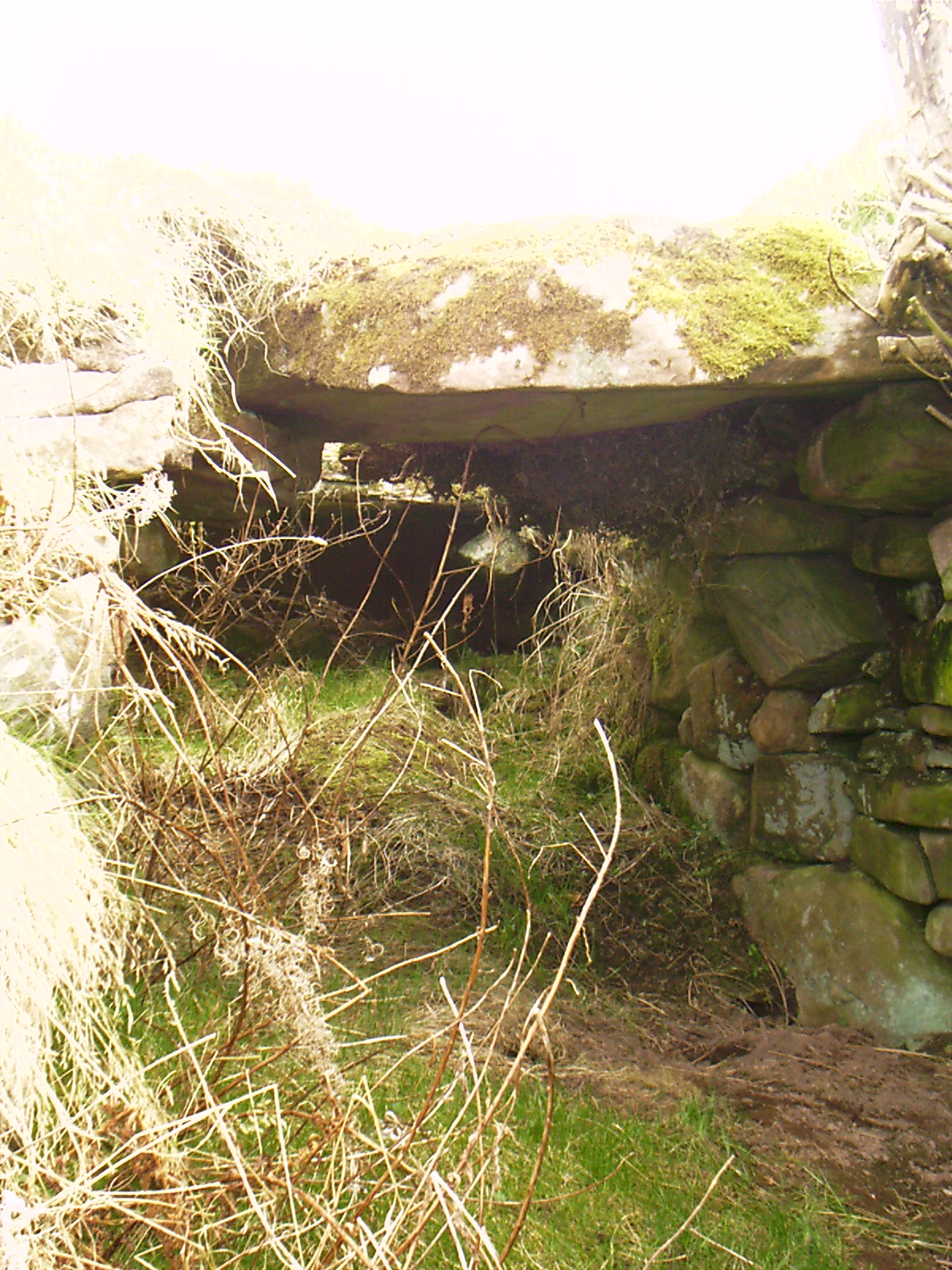 Man-made underground passage & ENCLOSURE in SkegoneillMan-made underground passage & ENCLOSURE · 1206 yd
 ENCLOSURE in OldparkENCLOSURE · 1436 yd
 Limestone QuarryCliff · 1440 yd
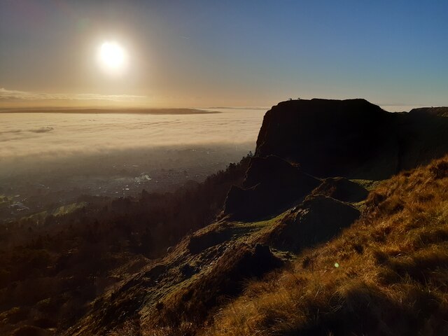 McArt's FortMountain / peak · 1561 yd
 Cave Hill TrailWalking route · 1610 yd
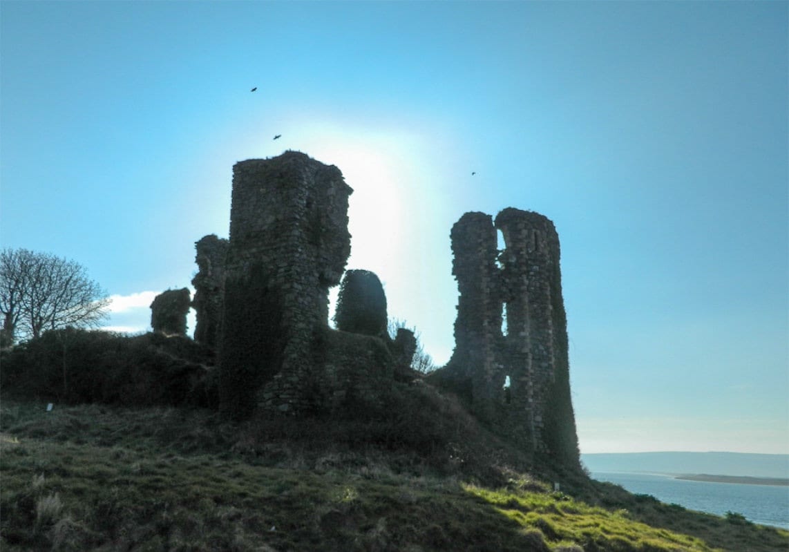 TOWER-HOUSE: GREENCASTLE, GREENCASTLE, CLOUGHCASTELLA, CLOUGHCASTELLA, CLOCHMESTALE in GreencastleTOWER-HOUSE: GREENCASTLE, GREENCASTLE, CLOUGHCASTELLA, CLOUGHCASTELLA, CLOCHMESTALE · 1619 yd
 CavehillMountain / peak · 1753 yd
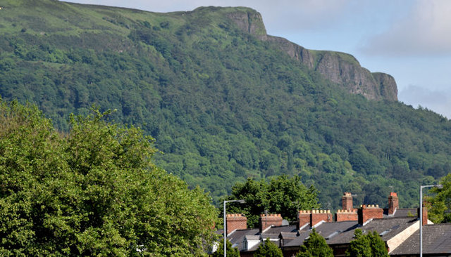 Cave HillCliff · 1.0 mi
 Cave Hill CaveCave · 1.0 mi
 Possible bawn site in OldparkPossible bawn site · 1.3 mi
Other information
Photo: Credit not shown in the picture search · Rights wording not checked; contact us if this picture should be removed