What is recorded here
Whitehouse Historic Settlement in Ballygolan dates to the eighteenth or nineteenth century, marking a period when human hands shaped the Antrim landscape. The exact boundary remains unclear because the official point sits at the centre of a wider recorded area. That uncertainty does not weaken the place; it invites imagination about how many lives crossed the same soil before the line was drawn.
The official Northern Ireland record identifies this as Whitehouse Historic Settlement. Recorded period: C18TH/C19TH. The official map point was placed at the centre of the recorded archaeological site from the source map reference.
The monument record does not grant public access. Check the route and ask the landowner before entering private land.
- What survives
- Recorded monument
Places near here
_-_geograph.org.uk_-_1754545.jpg?width=1280) Railway BridgeBridge · 851 yd
Railway BridgeBridge · 851 yd Millennium MilepostVisitor information · 955 yd
 St. John's Church Of Ireland ChurchChurch · 979 yd
 THE WHITEHOUSETHE WHITEHOUSE, 17th century BAWN · 1007 yd
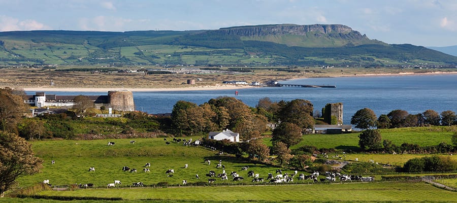 ENCLOSURE in GreencastleENCLOSURE · 1051 yd
 Stephen BoydMemorial · 1176 yd
 Cave Hill CaveCave · 1.1 mi
 Belfast CastleHeritage attraction · 1.2 mi
 Cave HillCliff · 1.2 mi
 Belfast Castle Estate TrailWalking route · 1.2 mi
 Bellevue Area of Special Scientific InterestCliff · 1.2 mi
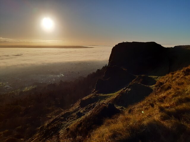 McArt's FortMountain / peak · 1.2 mi