
What is recorded here
The promontory fort (coastal) in West-Town is in County Waterford, Ireland. It occupies a rectangular grass-covered promontory jutting south from the mainland, measuring 60 to 90 metres north to south and 72 to 110 metres east to west. An earthen bank, 11 metres wide and roughly 72 metres long, cuts the promontory off at the north, standing 2.1 metres high on the inside and 2.7 metres high on the outside. Beyond the bank runs a flat-bottomed fosse 9.6 metres wide at the top, 3.8 metres wide at the base and 1.6 metres deep.
Situated on a coastal promontory jutting S from the mainland. This is a rectangular grass-covered promontory (dims. 60- 90m N-S; 72-110m E-W) cut off at the N by an earthen bank (Wth 11m; int. H 2.1m; ext. H 2.7m; L c. 72m) with an outer flat-bottomed fosse (Wth of top 9.6m; Wth of base 3.8m; D 1.6m). The entrance (Wth 2.75m) and causeway (Wth 2.6m) are towards the centre. The 1840 ed. of the OS 6-inch map depicts a feature (dims. c. 25m E-W; c. 15m N-S) inside the bank at W but it could not be identified by Westropp 1908, 230) and is not extant. (Westropp 1906, 256; 1908, 230; 1914-16, 210-11)
Westropp, T. J. (1906) Notes on certain promontory forts in the counties of Waterford and Wexford. JRSAI, 36, 239-58.
Westropp, T. J. (1908) Promontory forts in the Irrus, County Clare; Part 2. Loop Head and Cross group, JRSAI 36, 221-31.
Westropp, T. J. (1914-16) Fortiified headlands and castles on the south coast of Munster. PRIA C vol. 32, 188-227.
The above description is derived from the published 'Archaeological Inventory of County Waterford' (Dublin: Stationery Office, 1999). In certain instances the entries have been revised and updated in the light of recent research.
Compiled by: Michael Moore
Date of upload/revision: 27 May 2011
The monument record does not grant public access. Check the route and ask the landowner before entering private land.
- What survives
- Recorded monument
Places near here
 Promontory fortPromontory fort, coastal · 569 yd
 Metal Man Towerbeacon · 1054 yd
 The Metal ManHeritage attraction · 1054 yd
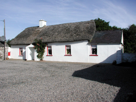 Historic buildingOfficially recorded historic building · 1367 yd
 Garrarus StrandBeach / strand · 1455 yd
 Newtown WoodsWood · 1653 yd
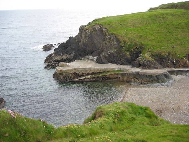 Newtown CoveBeach / strand · 1754 yd
 Site of Ancient Irish DwellingHut site · 1.4 mi
 Doneraile WalkWalking route · 1.9 mi
 Cannon GunBattlefield · 2.0 mi
 Tourist InformationVisitor information · 2.4 mi
 Tramore Tourist OfficeVisitor information · 2.5 mi
Other information
Photo: Credit not shown in the picture search · Rights wording not checked; contact us if this picture should be removed