What is recorded here
Indicated is a circular earthen ringfort in County Mayo pasture, preserving a substantial bank and external fosse despite a modern track cutting through its interior. The western mound of earth and stone may have supported a dwelling or marked a burial, while the eastern fence suggests the site remained useful for boundary or pasture management long after its original purpose faded.
In undulating pasture, ringfort (MA100-012----) 200m to NW. Circular raised area (62.5m N-S; 63m E-W), defined by substantial earthen bank (H 1.55m), with external fosse (D 0.3m). Gap (Wth 2.2m) in NE, possible entrance. Modern gaps at N and S accomodate track which truncates the site's interior, N to S. Mound (L 13.8m N-S; Wth 9.9m E-W; H 1.8m) of earth and stone in W of interior. Field fence bisects E half of interior N to S.
The above description has been derived from D. Lavelle (compiler), An Archaeological Survey of Ballinrobe and District including Lough Mask and Lough Carra. Lough Mask and Lough Carra Tourist Development Association (1994), No. 232.
Date of upload: 23 January 2013
The monument record does not grant public access. Check the route and ask the landowner before entering private land.
- What survives
- Recorded monument
Places near here
 IndicatedFairy fort / earthen ringfort · 1058 yd
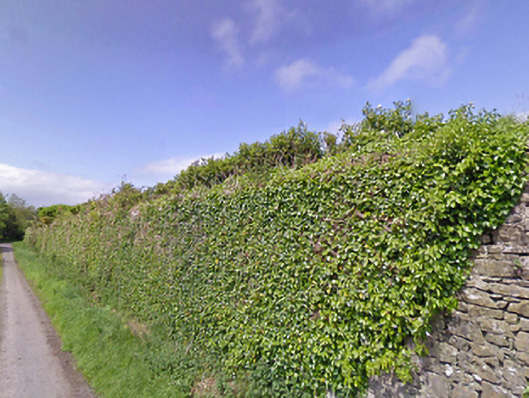 Mount Pleasantwalled garden · 1150 yd
 Castle LucasCastle · 1304 yd
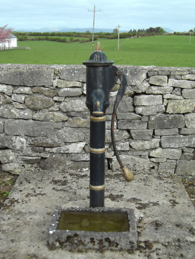 water pumpwater pump · 1520 yd
 Lisblowick FortArchaeological place · 1.0 mi
 Doonamona CastleCastle · 1.5 mi
 Cerberus, from Thomastown HouseMemorial · 2.0 mi
 Lady's IslandIslet · 3.1 mi
 Moore Hall Forest TrailWalking route · 3.2 mi
 Bird IslandIslet · 3.3 mi
 Redgate ParkWood · 3.4 mi
 European hornbeamEuropean hornbeam · 3.4 mi