What is recorded here
This is a rectangular two-storey house, now inaccessible, on the N side of Michael's Lane, adjacent to St Michael's church (WA009-005025-). It is probably late 16th century in date. (Bradley et al. 1989, vol. 2, 166-7)
Bradley, J., Halpin, A. and King, H. (1989) Urban archaeology Survey of Waterford City and County, 2 vols. Unpublished report commissioned by the Office of Public Works.
The above description is derived from the published 'Archaeological Inventory of County Waterford' (Dublin: Stationery Office, 1999). In certain instances the entries have been revised and updated in the light of recent research.
Date of upload/revision: 23 December 2008
The monument record does not grant public access. Check the route and ask the landowner before entering private land.
- What survives
- Recorded monument
Places near here
 Church in Waterford CityChurch · 19 yd
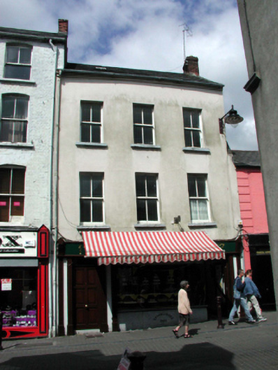 William Greerhouse · 40 yd
 Holy well in Waterford CityHoly well · 186 yd
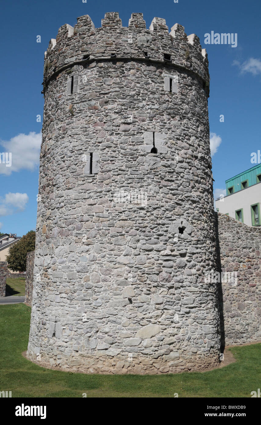 Waterford City WallsVisitor information · 223 yd
 Habitation site in Waterford CityHabitation site · 235 yd
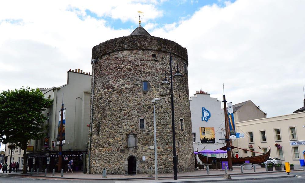 Semi-Lunar TowerCastle · 243 yd
 9/11 MemorialMemorial · 264 yd
 Double TowerHeritage attraction · 288 yd
 French TowerHeritage attraction · 292 yd
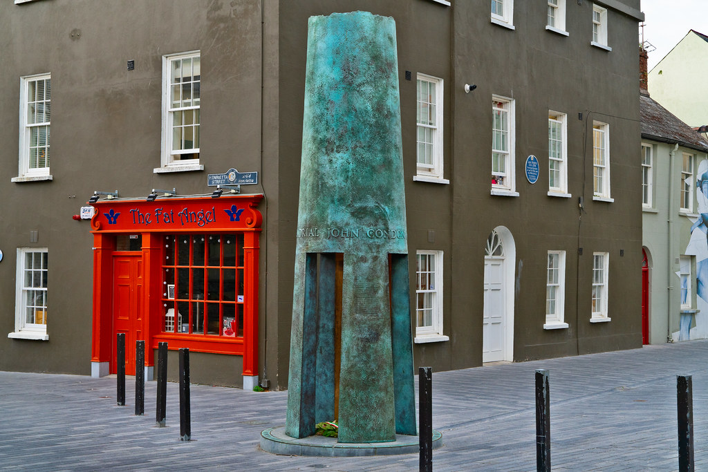 John Condon MemorialMemorial · 295 yd
 Beach TowerCastle · 306 yd
 Native Woodland Trust:Grace Dieu ReserveWood · 2.7 mi