What is recorded here
Winetavern Street in County Dublin once forced a river to obey a timber wall, not the other way around. Men drove wooden stakes into masonry at the northern end, building a rigid edge for an inlet or harbour where water wanted to spread. The street above forgot the river below, but the ground still holds the shape of that human demand.
Excavations at Winetavern Street revealed a timber revetment, orientated N-S at the northern end of the street (Walsh 1997, 105-6). This structure was founded on masonry and may represent an enclosed inlet or early harbour (Simpson 2002, 51).
The monument record does not grant public access. Check the route and ask the landowner before entering private land.
- What survives
- Recorded monument
Places near here
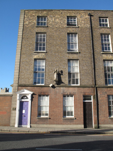 Merchant's Quay Irelandhouse · 16 yd
 Adam and Eve Friaryfriary · 21 yd
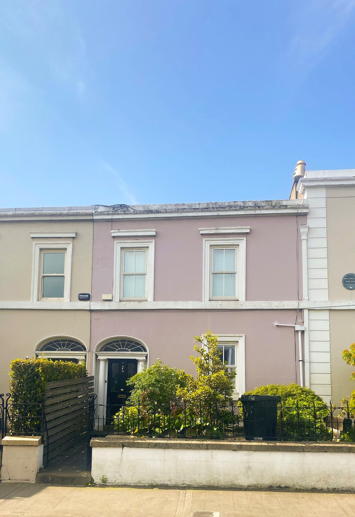 Ecclesiastical residence in Unknown TownlandEcclesiastical residence · 139 yd
 IndicatedCathedral · 168 yd
 Saint Audoen's GateHeritage attraction · 172 yd
 Medieval City Wall and St. Audeon's ArchHeritage attraction · 193 yd
 Gairdín Súgartha i gCuimhne ar na Páistí a Cailleadh in 1916Memorial · 269 yd
 John FieldMemorial · 282 yd
 Medieval DublinVisitor information · 298 yd
 Newcomen BankVisitor information · 320 yd
 CastleCastle, Anglo-Norman masonry castle · 380 yd
 European PearEuropean Pear · 867 yd