What is recorded here
Excavations in 1977-78 in the area of the Viking period embankments showed that a low flood bank of early 10th century date was replaced by a more substantial structure built around an existing wattle fence. A third bank was constructed out in the river bed in the later 10th-century and later replaced by a stone wall (Wallace 1977-79, 72, 73).
The monument record does not grant public access. Check the route and ask the landowner before entering private land.
- What survives
- Recorded monument
Places near here
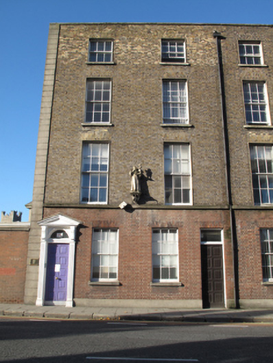 Merchant's Quay Irelandhouse · 58 yd
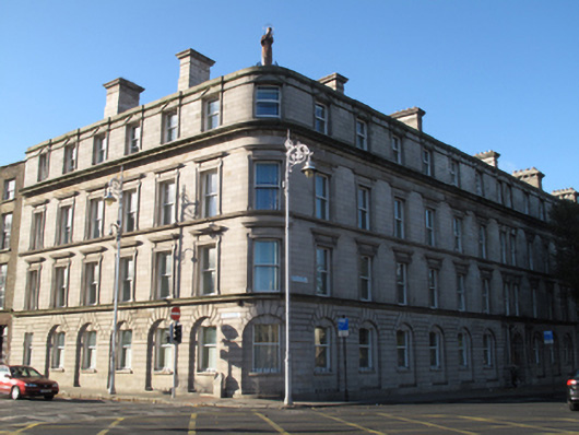 Adam and Eve Friaryfriary · 68 yd
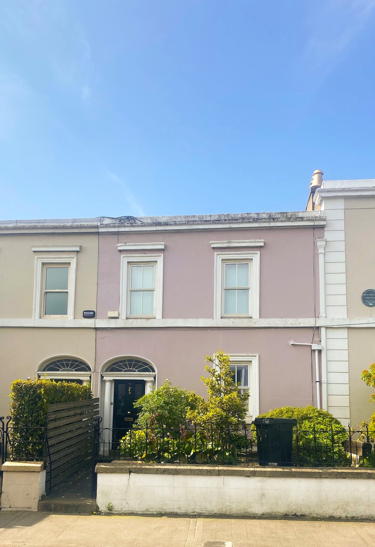 Ecclesiastical residence in Unknown TownlandEcclesiastical residence · 96 yd
 IndicatedCathedral · 144 yd
 Saint Audoen's GateHeritage attraction · 208 yd
 Medieval City Wall and St. Audeon's ArchHeritage attraction · 229 yd
 John FieldMemorial · 246 yd
 Newcomen BankVisitor information · 271 yd
 Gairdín Súgartha i gCuimhne ar na Páistí a Cailleadh in 1916Memorial · 310 yd
 Medieval DublinVisitor information · 329 yd
 CastleCastle, Anglo-Norman masonry castle · 333 yd
 European PearEuropean Pear · 913 yd