What is recorded here
According to Ball (1903, 51-3) there was a watermill on the lands ofDonnybrook in 1524. A map accompanying a lease dated 1701 shows the mill immediately S of Donnybrook Castle (pers comms Danny Parkinson) with a millrace extending SW to the River Dodder. The probable location for this mill is on the present grounds of the Convent of the Sisters of Charity where the present grotto lies. Recent excavations inside the gate of the convent exposed brick-built arches which were probably associated with the millrace. Archaeological testing at 29 Eglinton Road in 2001 revealed a section of a post medieval millrace(L 60m, Wth 5m) which may be associated with the above(Delaney 2003, 91-92).
The monument record does not grant public access. Check the route and ask the landowner before entering private land.
- What survives
- Recorded monument
Places near here
 IndicatedMill, unclassified · 2 yd
 Bridge in Unknown TownlandBridge · 101 yd
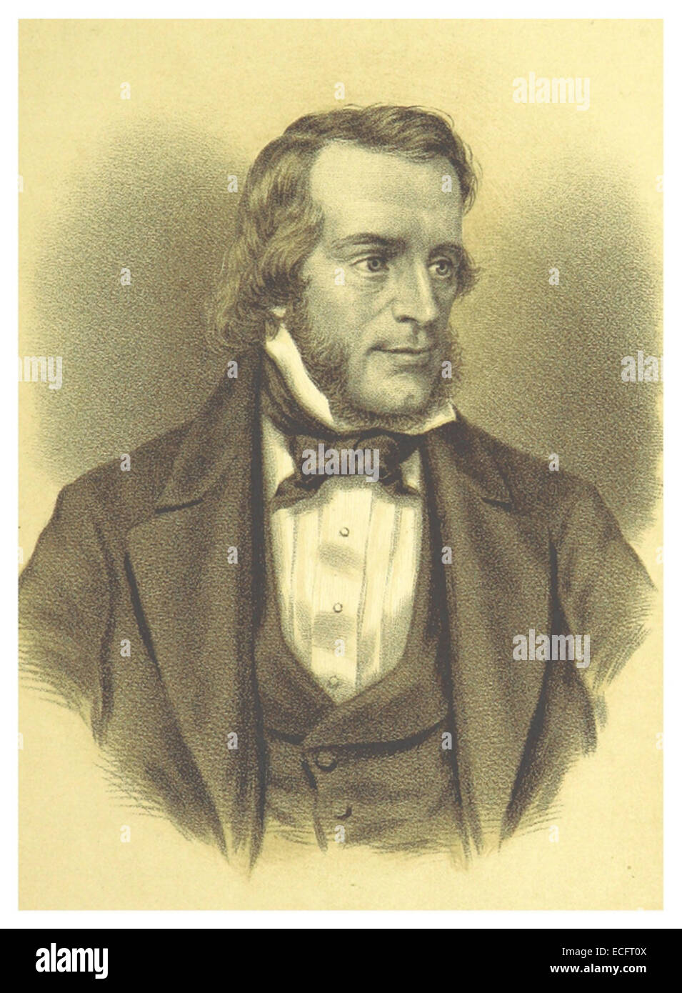 Thomas Osborne DavisMemorial · 200 yd
 Donnybrook CemeteryMemorial · 221 yd
 ChapelEcclesiastical site · 268 yd
 The Arthur Morrison MonumentMonument · 459 yd
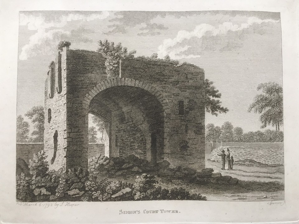 Simmonscourt CastleCastle, tower house · 462 yd
 Saint Broc's WellSpring · 495 yd
 Hybrid poplarHybrid poplar · 907 yd
 The GroveWood · 927 yd
 RTÉVisitor information · 1062 yd
 The Gerard Byrne StudioGallery · 1346 yd