What is recorded here
The Down Survey (1655-6) maps show three gabled houses at 'Kilmainham town'. The Hearth money Roll for County Dublin(1664)lists 48 properties(Cary 1930-33, 455-456). One of these survived until the 1940s (O'Dwyer 1981, 96). No visible trace.
This remains an important historical record, but the official description says the monument is no longer visible or has been destroyed. The monument record does not grant public access. Check the route and ask the landowner before entering private land.
- What survives
- No visible remains or recorded as destroyed
Places near here
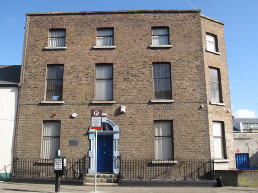 Academy of Medical Laboratory Sciencehouse · 44 yd
 Bridge in Unknown TownlandBridge · 77 yd
 Ancient MonumentCross · 249 yd
 Royal Hospital KilmainhamHeritage attraction · 331 yd
 Kilmainham Jail MuseumMuseum · 401 yd
 St. Johns WellHoly well · 418 yd
 Gairdín Foirmiúil Ospidéal Ríoga Chill MhaighneannVisitor information · 428 yd
 Chapelizod BypassMemorial · 456 yd
 Executions of the leaders of the 1916 risingMemorial · 462 yd
 Bus Route InformationVisitor information · 650 yd
 Silver mapleSilver maple · 1236 yd
 Silver LimeSilver Lime · 1477 yd
Other information
Photo: Credit not shown in the picture search · Rights wording not checked; contact us if this picture should be removed