What is recorded here
Unknown Townland in County Down layers Early Neolithic life beneath a Bronze Age barrow, a rath and two man-made underground passages. People may have dug, buried, worshipped or hidden across centuries, while others forgot the names and intentions behind each mark.
The official Northern Ireland record identifies this as Early Neolithic occupation, Bronze Age barrow, Rath and two Man-made underground passages (EC). Recorded period: EARLY NEO. The official map point was placed at the centre of the recorded archaeological site from the source map reference.
Early Neolithic occupation and Bronze Age barrow; the site reflects long-term ritual and domestic use from c. 4000–2000 BCE. Its multiple phases and underground passages suggest complex prehistoric activity, though its wider significance remains under-researched.
The monument record does not grant public access. Check the route and ask the landowner before entering private land.
- What survives
- Recorded monument
Places near here
_-_geograph.org.uk_-_1421059.jpg?width=1280) Steenson's BridgeBridge · 1.2 mi
Steenson's BridgeBridge · 1.2 mi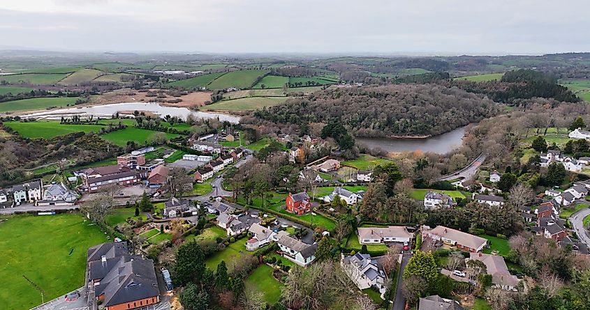 ENCLOSURE? in CarnacallyENCLOSURE? · 1.6 mi
 Crown Bridge NewBridge · 1.7 mi
 MOTTE & BAILEY: CROWN MOUND in Sheeptown (newry)MOTTE & BAILEY: CROWN MOUND · 2.2 mi
 New Street Car ParkVisitor information · 2.7 mi
 Basin Walk Car ParkVisitor information · 2.8 mi
 Newry CenotaphMemorial · 2.8 mi
 POST-MEDIEVAL CHURCH & GRAVEYARD: ST. PATRICK'S in NewryPOST-MEDIEVAL CHURCH & GRAVEYARD: ST. PATRICK'S · 2.8 mi
 1971 Newry killingsmassacre · 2.9 mi
 Canal WoodWood · 2.9 mi
 Newry and Mourne MuseumMuseum · 3.1 mi
 Bagenal's CastleCastle · 3.1 mi