What is recorded here
Two Gneeves holds one of a pair of stones on Mrs O'Sullivan's land, tall enough to tower over a person yet slender enough to grasp with both arms. Bowman measured the first in 1934, but the exact spot has slipped from local memory. The stone may have marked a boundary, a burial or a meeting place, yet it still stands as a bare fact when human cleverness forgets its own history.
One of two standing stones (10175) recorded by Bowman (1934, 266) on Mrs O'Sullivan's land; '2ft 7in by 7ft 9in girth'. Exact location not known.
The above description is derived from the published 'Archaeological Inventory of County Cork. Volume 4: North Cork' (Dublin: Stationery Office, 2000). In certain instances the entries have been revised and updated in the light of recent research.
Date of upload/revision: 14 January 2009
The monument record does not grant public access. Check the route and ask the landowner before entering private land.
- What survives
- Recorded monument
Places near here
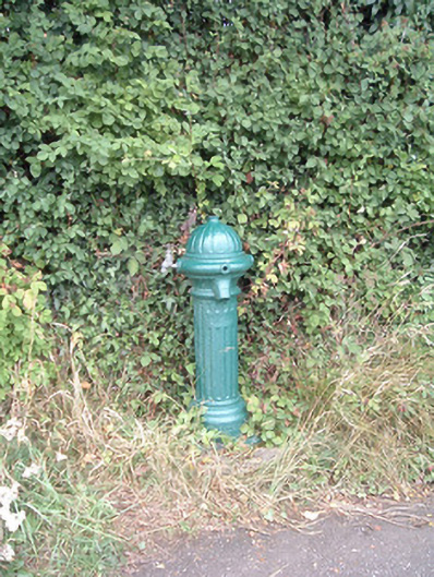 water pumpwater pump · 1073 yd
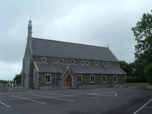 Church of the Immaculate Conceptionchurch/chapel · 1287 yd
 Fulacht fia in KnocknashannaghFulacht fia · 1451 yd
 Fulacht fia in EuglauneFulacht fia · 1640 yd
 Nohaval WoodWood · 3.3 mi
 Dromsicane Castle (in Ruins)Bawn · 4.3 mi
 Castle and TurretCastle, tower house · 5.1 mi
 Millstreet Museum & Tourist Information CentreMuseum · 5.4 mi
 Claragh Loop (Trailhead 99)Visitor information · 5.4 mi
 Millstreet Tourist InformationVisitor information · 5.4 mi
 Claragh MountainMountain / peak · 5.5 mi
 RowanRowan · 6.1 mi