What is recorded here
Former Tullyvoos Burial Ground has vanished into good Donegal pasture, leaving no stone or mark behind. Local tradition still points to the grass as an old graveyard, but the dead and the dates have gone with the shape of the place. What remains is a field that may have swallowed a whole neighbourhood of ghosts, feeding cattle instead of memory.
Local tradition records this as the site of an old graveyard. No trace of it now survives. The site is located in an area of good pasture.
The above description was derived from the 'Archaeological Survey of County Donegal. A description of the field antiquities of the County from the Mesolithic Period to the 17th century.' Compiled by: Brian Lacey with Eamon Cody, Claire Cotter, Judy Cuppage, Noel Dunne, Vincent Hurley, Celie O'Rahilly, Paul Walsh and Seán Ó Nualláin (Lifford: Donegal County Council, 1983). In certain instances the entries have been revised and updated.
Date of upload: 22 September 2008
The monument record does not grant public access. Check the route and ask the landowner before entering private land.
- What survives
- Recorded monument
Places near here
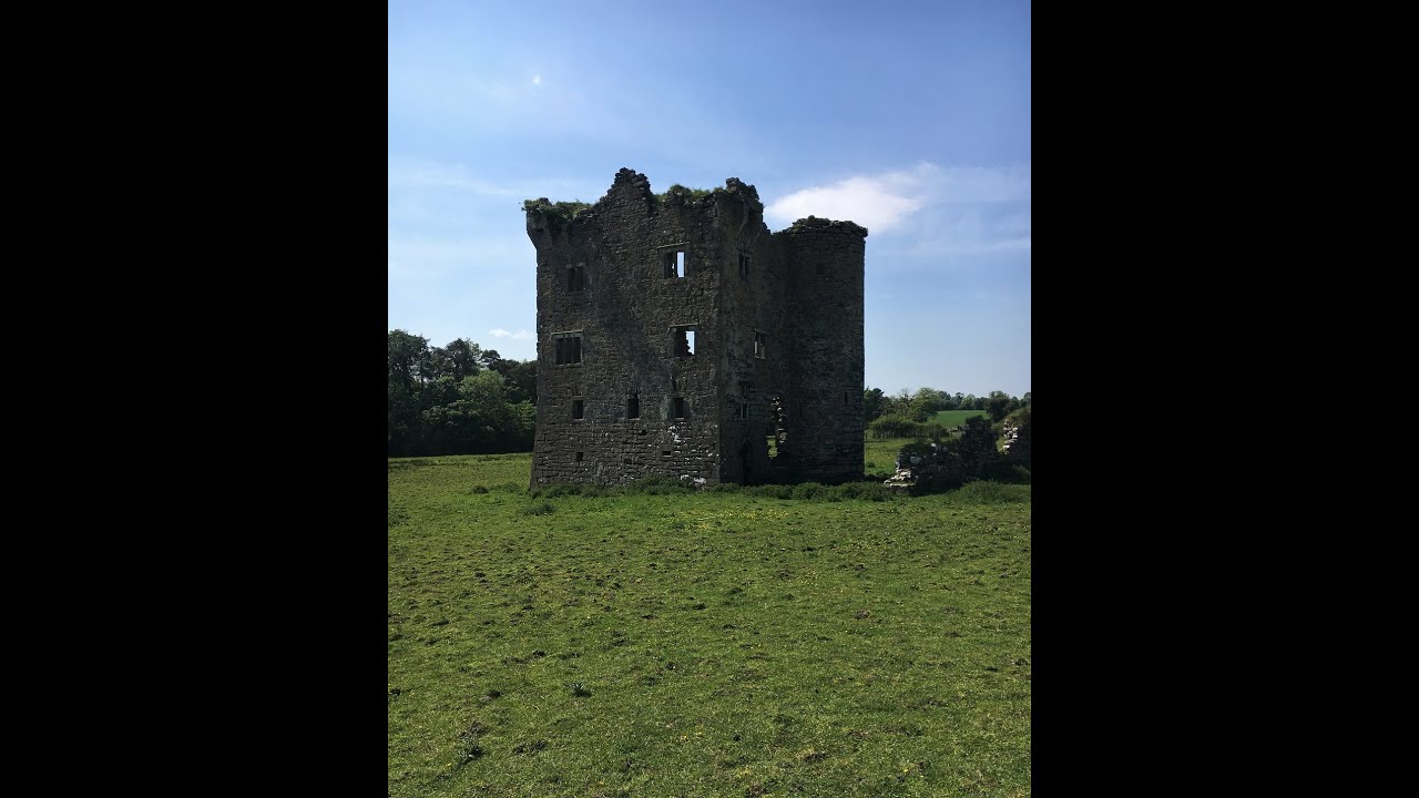 Tullyvoos Fairy FortFairy fort / earthen ringfort · 556 yd
 White HillMountain / peak · 1297 yd
 Raneely Earthen Ringfort near Doorin HeadFairy fort / earthen ringfort · 1616 yd
 Inver Methodist Churchchurch/chapel · 2.0 mi
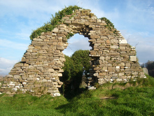 Inver Church of Ireland Churchchurch/chapel, graveyard/cemetery · 2.2 mi
 Salthill GardensHeritage attraction · 2.7 mi
 GinkgoGinkgo · 3.8 mi
 MurvaghOfficial bathing water · 4.3 mi
 Drumlaghtafin HillMountain / peak · 4.3 mi
 Bawn in Rahan NearBawn · 4.3 mi
 Killaghtee Old Church GraveyardGraveyard · 4.4 mi
 Killymard Old Church GraveyardGraveyard · 4.7 mi