What is recorded here
On a SE-facing slope at the base of Slievenamom. Field reclaimed and under pasture. Ringfort (TS071-027----) visible 1.3km to E. Enclosure partially outlined by field boundaries on 1st (1840) ed. OS 6-inch map and depicted as a large roughly oval-shaped enclosure on 2nd (1901-05) ed. Monument has been levelled, however, undulations in the field appear to be the partial remains of the ploughed out enclosure. Though no clear pattern was discernible a much flattened broad curving bank (Wth c. 14m; int. H 0.05m; ext. H 0.67m) was visible in the SE quadrant of the enclosure.
Compiled by: Jean Farrelly
Date of upload: 26 August 2011
The monument record does not grant public access. Check the route and ask the landowner before entering private land.
- What survives
- Recorded monument
Places near here
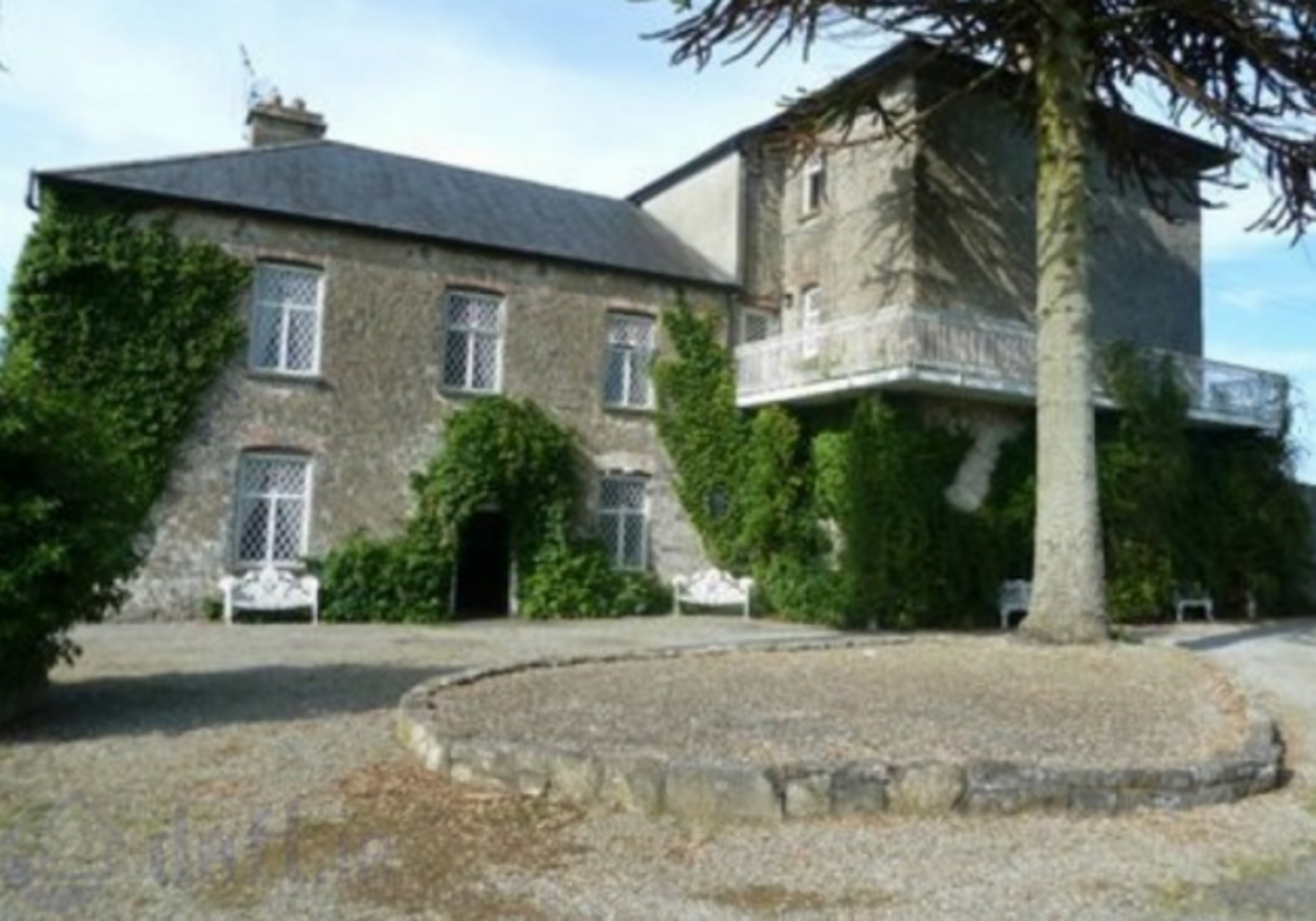 Enclosure in KnockrathkellyEnclosure · 1629 yd
 SheegounaMountain / peak · 1.1 mi
 Enclosure in MayladstownEnclosure · 1.2 mi
 SlievenamonMountain / peak · 1.3 mi
 Carrigaloe RockNamed rock · 1.4 mi
 Saint John's Catholic Churchchurch/chapel · 1.6 mi
 Kilcash WoodForest · 1.9 mi
 Bawn in KilcashBawn · 2.0 mi
 Kilcash Church (in ruins)Church · 2.1 mi
 Kilcash Castle (in ruins)Castle, tower house · 2.1 mi
 The SpoutMemorial · 3.6 mi
 European ashEuropean ash · 3.8 mi