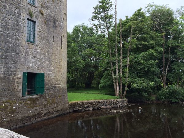
What is recorded here
Enclosure in Tullira is a vanished rectangular earthen fort in County Galway, measured at roughly seventy-three metres east-west and fifty-one metres north-south. It hid a central depression that may have been an underground passage, while its outer ditch faded until only the west and north edges remained visible. The pastureland has swallowed the bank, the ditch and the passage, leaving behind a flat green field where a fortified place once stood.
In rough pastureland. Described by McCaffrey (1952, 288, no. 54) as a rectangular 'Earthen fort' (c. 73.2m E-W; c. 51.5m N-S) defined by an earthen bank and an external fosse. Traces of the latter were visible only on the W and N sides. There was a 'depression' (possible Man-made underground passage - GA114-167001-) in the centre of the interior. No visible surface trace survives.
Compiled by: Galway Archaeological Survey, UCG
Date of upload: 14 December 2017
The monument record does not grant public access. Check the route and ask the landowner before entering private land.
- What survives
- Recorded monument
Places near here
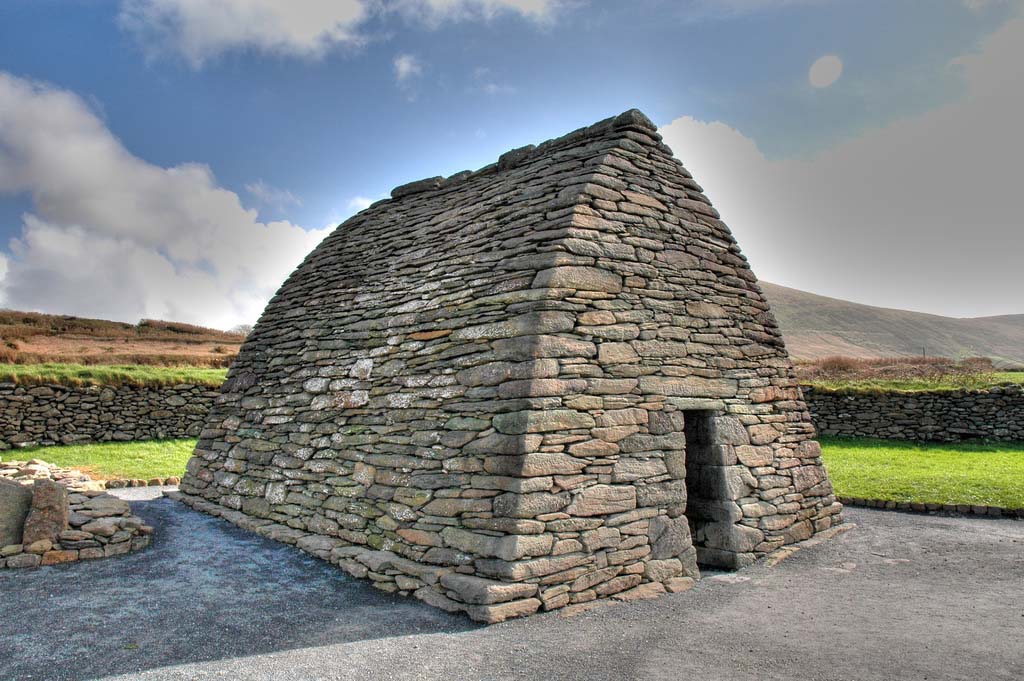 Enclosure in TulliraEnclosure · 282 yd
 Tullira Castlecountry house · 723 yd
 Rahaly Castle (in ruins)Castle, tower house · 1306 yd
 IndicatedFairy fort / stone ringfort · 1587 yd
 Loughnane and Quinn Memorial Halldemesne walls/gates/railings · 1.3 mi
 HawthornHawthorn · 1.7 mi
 European ashEuropean ash · 1.7 mi
 Ballymaquiff CastleCastle · 1.8 mi
 Drumharsna CastleHeritage attraction · 2.8 mi
 Mulroney's IslandIslet · 7.1 mi
 Kilmacduagh Monastic SiteVisitor information · 7.4 mi
 Traught BeachBeach / strand · 9.0 mi
Other information
Photo: Credit not shown in the picture search · Rights wording not checked; contact us if this picture should be removed