What is recorded here
No fairies appear in the facts, but people called it a fairy fort before recordkeeping reached the field. In Tullig, County Kerry, an earthen ringfort stood in pasture with a broad bank, outer ditch and a possible northern entrance, large enough to hold a small dwelling, a byre or a remembered warning. Briars, sheep and time did the rest: by the early 2000s the ring may have been levelled, leaving only a flat place where the shape once kept its own counsel.
In pasture, on relatively level terrain. A roughly circular area (35m N-S; 31.5m E-W) enclosed by an earthen bank and an external fosse. The bank (int. H 3.2m; ext. H 1.1m) and the outer verges of the level interior are heavily masked by briars and bushes. The fosse is difficult to trace but survives W-NW and along the SE arc where it is best preserved (Wth 4m; D 1.4m). There is a possible entrance (Wth 4m) at N. A limekiln, built into the bank at E, is depicted on the 2nd ed. (1897-8) OS 6-inch map although it was not visible on the day of survey (11 September 1985) due to dense vegetation cover. Judging from aerial photographs, this monument appears to have been levelled sometime between 1995 and 2000.
Compiled by: Matt Kelleher
Date of upload: 28 February 2014
The monument record does not grant public access. Check the route and ask the landowner before entering private land.
- What survives
- Recorded monument
Places near here
 Church in Kilfeighny NorthChurch · 1156 yd
 Enclosure in GlanballymaEnclosure · 1.0 mi
 Enclosure in BallincraheenEnclosure · 1.2 mi
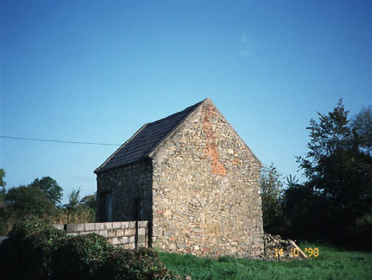 Crotta Housegate lodge · 1.2 mi
 Kilflynn Nature ReserveNature reserve · 2.1 mi
 CastleCastle, Anglo-Norman masonry castle · 2.7 mi
 Stack's MountainMountain / peak · 3.5 mi
 CruslineMountain / peak · 4.2 mi
 Ballymacaquinn Castle (remains of)Castle · 5.4 mi
 Tobar na MoltSpring · 6.8 mi
 Kerry Writers' MuseumMuseum · 6.8 mi
 Bryan MacMahonMemorial · 6.8 mi