What is recorded here
Fairy forts are often just ordinary ringforts renamed after people stopped understanding them. In Tullig, a circular earth bank enclosed roughly thirty metres of ground on a north-west facing slope. Farmers levelled most of it in the late 1970s, but part of the south-east arc still stands inside a field boundary. The fairies never needed believing; they only needed the shape to be forgotten.
In pasture, on a NW-facing slope. Depicted on the 2nd ed. (1897-8) OS 6-inch map as a roughly circular area (31.5m N-S; 28.8m E-W) enclosed by a bank. Although largely levelled in the late 1970s, a portion of the earthen enclosing bank (int. H 1.65; ext. H 1.6m) along the SE arc has been preserved in a field boundary.
Compiled by: Matt Kelleher
Date of upload: 28 February 2014
A fairy fort or earthen ringfort in Tullig, likely dating to the early medieval period, is indicated by its circular enclosure and bank, as shown on the 1897–8 Ordnance Survey map. Though largely levelled in the late 1970s, local tradition may associate it with supernatural or fairy lore, as suggested by its name.
The monument record does not grant public access. Check the route and ask the landowner before entering private land.
- What survives
- Recorded monument
Places near here
 Enclosure in GlanballymaEnclosure · 1436 yd
 Church in Kilfeighny NorthChurch · 1507 yd
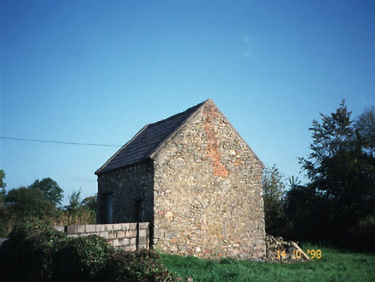 Crotta Housegate lodge · 1.1 mi
 Enclosure in BallincraheenEnclosure · 1.2 mi
 Kilflynn Nature ReserveNature reserve · 1.9 mi
 CastleCastle, Anglo-Norman masonry castle · 2.7 mi
 Stack's MountainMountain / peak · 3.4 mi
 CruslineMountain / peak · 4.0 mi
 Ballymacaquinn Castle (remains of)Castle · 5.3 mi
 Tobar na MoltSpring · 6.6 mi
 Kerry Writers' MuseumMuseum · 7.0 mi
 Bryan MacMahonMemorial · 7.0 mi