What is recorded here
Indicated is a ruined fairy fort in County Cavan, its low drystone wall stripped in the 1940s to build nearby field boundaries. The circular chamber still holds a smaller oval ridge, perhaps marking the house where someone once lived, loved or argued under an open sky. The entrance has vanished, but the shape remains, waiting for imagination to finish what the stones forgot.
Raised circular area (int. diam. 26.4m) enclosed by a partly denuded low drystone wall. Stones were drawn from this in the 1940s for the construction of field boundaries (local information). Original entrance not recognisable. A possible house site comprising an oval-shaped raised area (int. dims. 15.5m E-W; 5.2m N-S), is situated in the interior.
The above description is derived from the published 'Archaeological Inventory of County Cavan' (Dublin: Stationery Office, 1995). In certain instances the entries have been revised and updated in the light of recent research.
Date of upload/revision: 22 December 2008
The monument record does not grant public access. Check the route and ask the landowner before entering private land.
- What survives
- Recorded monument
Places near here
 Sweathouse in TullaghyrorySweathouse · 155 yd
 Sweat HouseArchaeological place · 700 yd
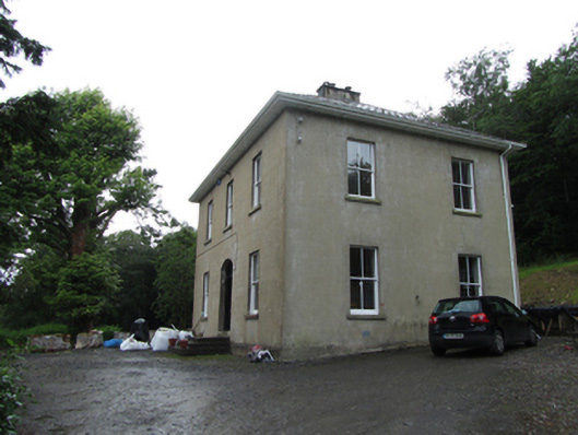 Manor Houserectory/glebe/vicarage/curate's house · 849 yd
 CarrickbrannanMountain / peak · 862 yd
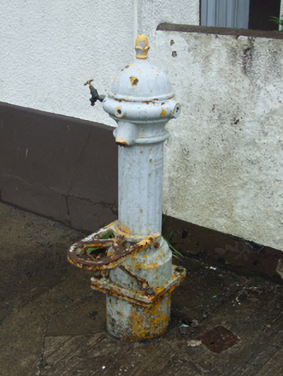 water pumpwater pump · 1007 yd
 Corrard ForestForest · 1044 yd
 Republican Garden of RemembranceMemorial · 1271 yd
 TobermurrySpring · 1.2 mi
 ArdlougherMountain / peak · 1.5 mi
 PlaygroudCliff · 2.5 mi
 CarrignahastaCliff · 3.1 mi
 Fahy RockIslet · 3.3 mi