Why this matters
A local fairy fort (ringfort/rath); wider significance not recorded.
What is recorded here
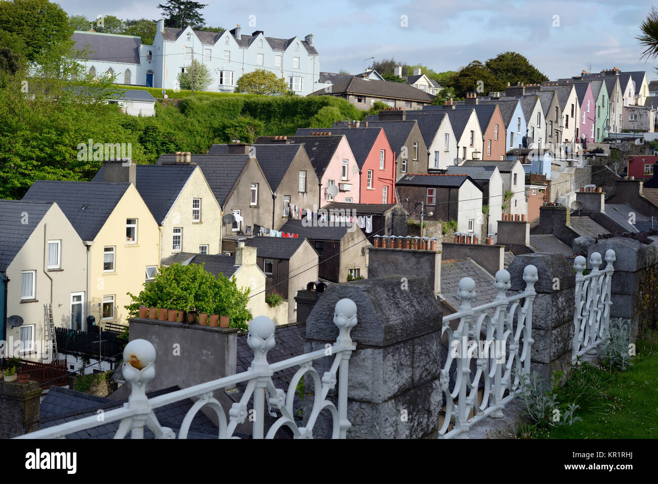
On N and S banks of Bandon river, walled town created in early decades of 17th century under the patronage of Richard Boyle, Earl of Cork. The town today is largely of 19th-century character; apart from Christ Church (3344) no buildings of 17th century survive; however, sections of town wall can still be traced. No remains of wall on N side of river apart from short section to rear of house on E side of North Main Street and possibly the core of the N boundary wall to graveyard at Christ Church. South of river are more extensive remains: two runs of E wall (for 22m and 11.5m) between St. Patrick's Hill and Casement Road; most of S wall replaced by later wall on same line but probable original section (L c. 20m) on steps up to Catholic Church from Market Street; another stretch (L 24.3m) along E side of Church Street; E, S and W boundary wall of St Peter's Church (3351) on line of wall and batter at base of S wall may be original feature; best preserved sections are two lengths of W wall as it approaches river to N: running due S from river bank 18m stretch (wall thickness 2.75m) to 5.5m gap, then 70m stretch (wall thickness 3.5m) running in SW direction; the wall itself is low (H c. 1m) with narrow walls (H c. 1.5m; thickness c. 0.45m) along inner and outer edge forming narrow walkway. No defensive features are preserved and no trace of town's gates (CO110-019002-). (Connolly 1985, 55-60; MacCarthy-Morrogh 1986, 55-62; O'Flanagan 1988, 1-16)
see Excavations 2000, no. 115, p. 39-40; Excavations 2001, 31; Excavations 2003, 38.
The above description is derived from the published 'Archaeological Inventory of County Cork. Volume 1: West Cork' (Dublin: Stationery Office, 1992). In certain instances the entries have been revised and updated in the light of recent research.
Date of upload/revision: 14 January 2009
Add the human story, a picture, a first-hand message or a missing place.
Earn 5 points after the picture is checked and accepted.
Add a pictureAdd its storyTalk or ask a questionAdd a new placeThe monument record does not grant public access. Check the route and ask the landowner before entering private land.
Conversation about this place
Questions and messages sit beneath the source record. They are checked before appearing.
No questions or messages yet.
Ask a question or join the conversation