
What is recorded here
Yes. Kilkenny's town defences include Talbot's Tower and 15th or 16th-century wall stretches near Watergate Street and Abbey Street. They marked the Hightown's edge, watched the river Breagagh, and helped the town resist attack or keep its own boundary clear.
The Archaeological Survey of Ireland (ASI) is in the process of providing information on all monuments on The Historic Environment Viewer (HEV). Currently the information for this record has not been uploaded. To access available information for research purposes please make an appointment in advance with the Archive Unit (open Fridays 10.00 am – 5.00 pm), Department of Housing, Local Government and Heritage, The Custom House, Dublin 1 D01W6XO or email NMarchive@housing.gov.ie.
See attached photographs:
KK019-026001-_01 Talbot's Tower
KK019-026001-_02 A 15th/16th-century stretch of the town wall of the Hightown was recorded by Cóilín Ó Drisceoil (07E0366) on the S bank of the river Breagagh at No. 6 Watergate Street
KK019-026001-_03 A 15th/16th-century stretch of the town wall of the Hightown was recorded by Cóilín Ó Drisceoil (07E0366) on the S bank of the river Breagagh at No. 6 Watergate Street
KK019-026001-_04 Profile of town wall on Abbey Street, E-facing section (E38330)
The monument record does not grant public access. Check the route and ask the landowner before entering private land.
- What survives
- Recorded monument
Places near here
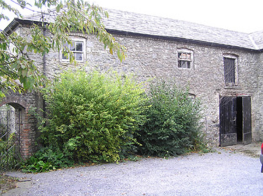 The Deaneryoutbuilding · 46 yd
 Market Yard GatesMemorial · 52 yd
 Saint Canice's Cathedralgates/railings/walls · 68 yd
 St. Canice's CathedralVisitor information · 73 yd
 Saint Canice's Cathedral Round TowerViewpoint · 114 yd
 Round TowerRound tower · 115 yd
 Joseph KytelerMemorial · 126 yd
 Font in Gardens (kilkenny City By., St. Canice Par.)Font · 130 yd
 Black AbbeyVisitor information · 210 yd
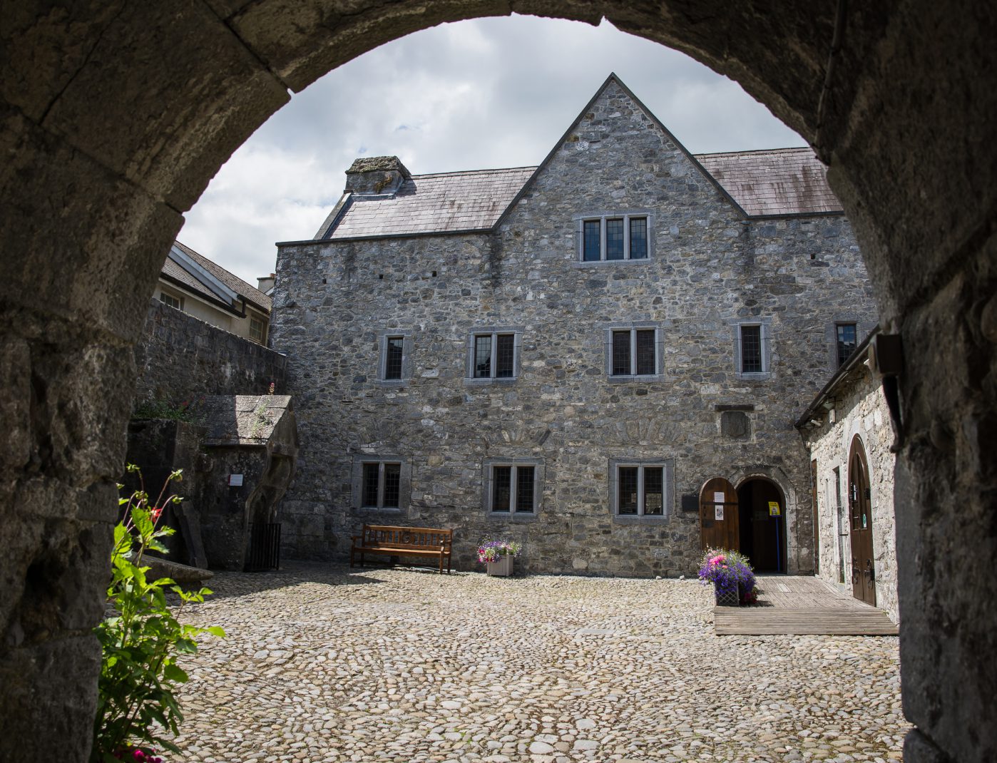 Rothe House & GardenMuseum · 274 yd
 Grace's Old CastleCastle · 356 yd
 Black PoplarBlack Poplar · 363 yd
Other information
Photo: Sheila1988 · CC BY-SA 4.0