What is recorded here
Toppan’s megalthic tomb still stands as a druid’s circle, marking the prehistoric boundary where human hands first shaped the local landscape. The stones may have served as a burial place or a gathering point, but their true purpose has faded into the distance. What remains is a quiet invitation to imagine the lives that moved around them, the rituals they performed and the reasons they believed worth marking in stone.
The official Northern Ireland record identifies this as MEGALITHIC TOMB: TULLYNAPUTTOGE or DRUID'S CIRCLE. Recorded period: PREHISTORIC. The official map point was placed at the centre of the recorded archaeological site from the source map reference.
Megalithic tomb, likely dating to the Neolithic or Early Bronze Age. Its significance lies in its association with early ritual or burial practices in the prehistoric landscape of Northern Ireland.
The monument record does not grant public access. Check the route and ask the landowner before entering private land.
- What survives
- Recorded monument
Places near here
 STONE ENCLOSURESTONE ENCLOSURE, cashel? or sheepfold? · 1.0 mi
 STONE ENCLOSURE, possibly CASHEL in DrumellySTONE ENCLOSURE, possibly CASHEL · 1.1 mi
 Rosscorkey IslandIsland · 1.5 mi
 Saint Patrick's Holy WellSpring · 1.5 mi
 Teampull RuisínHeritage attraction · 1.5 mi
 PENITENTIAL STATION STONES in CavancarraghPENITENTIAL STATION STONES · 1.6 mi
 Kilrooscagh IslandIslet · 1.6 mi
 Ballintempo ForestForest · 1.6 mi
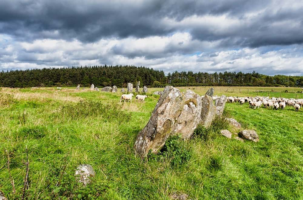 Cloughbeach Stone CircleArchaeological place · 1.7 mi
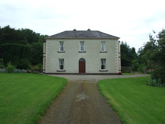 Tuam Househouse · 2.2 mi
 Port IslandCastle, Anglo-Norman masonry castle · 2.4 mi
 AughrimMountain / peak · 2.5 mi