What is recorded here
Eleven grassed-over house foundations and a hidden cashel mark a lost village east of Loughrea. The low arched gateway still stands in the southern field wall, framing rough grazing land rather than a busy street. People may have lived there when the fields were small and the gateway led to a road now forgotten. Tonaroasty keeps their shape beneath the grass, waiting for someone to walk the line of the houses and imagine the doors.
To the E of Loughrea town in an area of in rough grazing land. Within a roughly rectangular area (c. 380m N-S; c. 210m E-W) at least eleven rectangular house sites (average L 11.6m; Wth 6.3m) defined by grassed-over foundations are visible. Several associated outbuildings and small fields are also evident. There is a low arched gateway in the field wall to S. A cashel (GA105-189001-) lies in the S half.
Compiled by: Olive Alcock
Date of upload: 9 September 2016
This monument is subject to a preservation order made under the National Monuments Acts 1930 to 2014 (PO no. 9/1985).
The monument was taken into Ownership under the National Monuments Acts 1930 to 2014 - National Monument 643.
The monument record does not grant public access. Check the route and ask the landowner before entering private land.
- What survives
- Recorded monument
Places near here
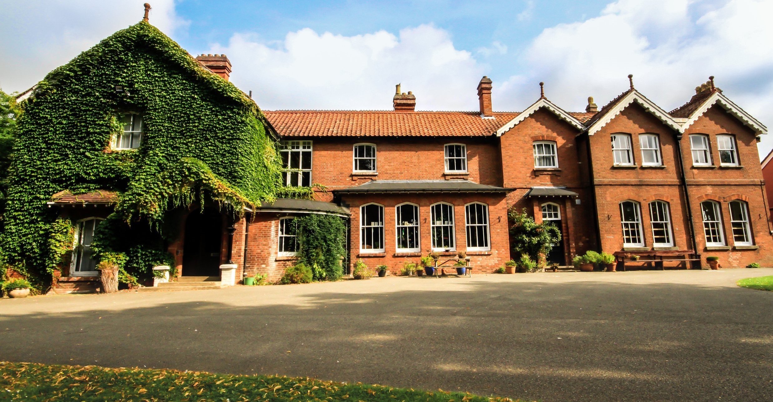 Summerhill Ho.House, 18th/19th century · 967 yd
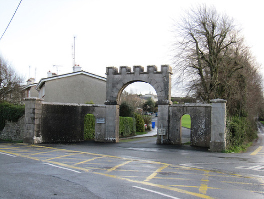 Mount Pleasantgates/railings/walls · 1024 yd
 Field boundary in CarnField boundary · 1197 yd
 St. Bridgets WellHoly well · 1221 yd
 Long PointHeadland · 1626 yd
 Bush IslandIslet · 1747 yd
 Stone Islands SouthIslet · 1.0 mi
 Ballygasty Castle in ruinsCastle, unclassified · 1.7 mi
 Raruddy Castle (in ruins)Castle, tower house · 2.3 mi
 Dartfield Horse MuseumHeritage attraction · 3.5 mi
 Turoe StoneHeritage attraction · 4.1 mi
 Scalpeen RockNamed rock · 5.8 mi