Why this matters
A local ancient tomb; wider significance not recorded.
What is recorded here
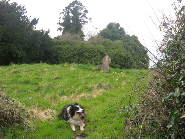
Situated on a rise in a fairly level landscape at the S edge of the W-E valley of the Nanny River with a WSW-ENE section of the stream c. 250m to the N. The parish church of Timoole (ME032-013----) is within a neglected subrectangular graveyard (dims c. 45m ENE-WSW; c. 35-40m NNW-SSE) defined by masonry walls. The font from here was moved to the Roman Catholic church at Kentstown (ME032-005----), c. 5km to the W, shortly after the Catholic church was built (Cogan 1862-70, 1, 346-7; Roe 1968, 69-72).
Compiled by: Michael Moore
Date of upload: 23 January, 2015
Add the human story, a picture, a first-hand message or a missing place.
Earn 5 points after the picture is checked and accepted.
Add a pictureAdd its storyTalk or ask a questionAdd a new placeThe monument record does not grant public access. Check the route and ask the landowner before entering private land.
Conversation about this place
Questions and messages sit beneath the source record. They are checked before appearing.
No questions or messages yet.
Ask a question or join the conversation