What is recorded here
Termons holds a hidden standing stone because a farmyard wall swallowed it. The angular rock rises one point seven metres, tapering to a knife edge above ordinary domestic life. It escapes mapping while surviving inside the boundary people still use, proving that resistance can take the shape of usefulness rather than pride.
This standing stone, not marked on the OS maps, is incorporated into a farmyard wall. Its sides rise almost vertically and taper towards a point at top. The stone stands 1.7m high, and is 1m wide and .32m thick at base; N-S.
The above description is derived from A. O'Sullivan and J. Sheehan (compilers), 'The Iveragh peninsula: an archaeological survey of South Kerry'. Cork University Press (1996), no. 213. In certain instances the entries have been revised and updated in the light of recent research.
Date of upload: 28 July 2013
The monument record does not grant public access. Check the route and ask the landowner before entering private land.
- What survives
- Recorded monument
Places near here
 Indicated (1846).Fairy fort / earthen ringfort · 571 yd
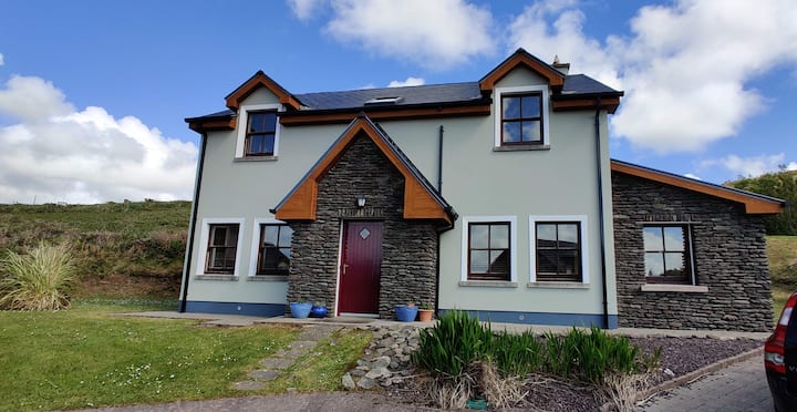 Leacht in TermonsLeacht · 782 yd
 Iveragh Lodgehunting/fishing lodge · 1417 yd
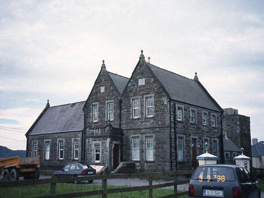 The Cable Stationcoastguard station · 1545 yd
 Butler MemorialMemorial · 1.1 mi
 T. C. Millerick MemorialMemorial · 1.2 mi
 Waterville PromenadeWalking route · 1.2 mi
 CastleCastle, tower house · 1.6 mi
 Inny StrandBeach / strand · 1.9 mi
 Reenrow BeachBeach / strand · 2.7 mi
 Emlagh LoopWalking route · 2.7 mi
 CoomduffMountain / peak · 2.9 mi