What is recorded here
Rock art in Termons is a buried stone slab on Knag hill that a digging machine pulled from four feet of earth during a septic tank excavation in the late 1980s. Its cupmarks, rings and forked groove had waited beneath ordinary ground, perhaps marked by hands that knew the hill before the hill had a name. The machine scratched the surface as it freed the stone, adding its own rough line to the old design.
On the lower SE side of Knag hill, overlooking Lough Currane to S, is a stone slab measuring 1.12m x .68m x .25m. It was uncovered in the late 1980s about 100m S of its present position at a depth of approximately four feet (1.2m) below ground level (local information). The decorated surface, which features some scratches made by the earth-moving machine on discovery, carries two cup-and-rings, a cup-and-penannular ring, seven cupmarks and a forked groove.
The above description is derived from A. O'Sullivan and J. Sheehan (compilers), 'The Iveragh peninsula: an archaeological survey of South Kerry'. Cork University Press (1996), no. 372. In certain instances the entries have been revised and updated in the light of recent research.
Date of upload: 28 July 2013
In small, improved pasture field adjacent to private dwelling house. Access not gained. According to O’Sullivan & Sheehan (1996, 107-8), ‘On the lower SE side of Knag hill, overlooking Lough Currane to S, is a stone slab measuring 1.12m x .68m x .25m. It was uncovered in the late 1980s about 100m S of its present position at a depth of approximately four feet (1.2m) below ground level (local information). The decorated surface, which features some scratches made by the earth-moving machine on discovery, carries two cup-and-rings, a cup-and-penannular ring, seven cupmarks and a forked groove’. According to the landowner, this stone was uncovered when digging for a septic tank (ibid).
Compiled by: Alison McQueen and Vera Rahilly
Date of upload: 6 July 2017
The monument record does not grant public access. Check the route and ask the landowner before entering private land.
- What survives
- Recorded monument
Places near here
 Indicated (1846).Fairy fort / earthen ringfort · 522 yd
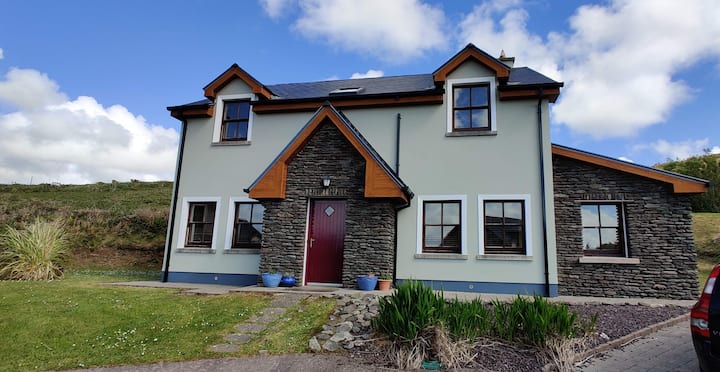 Leacht in TermonsLeacht · 853 yd
 Iveragh Lodgehunting/fishing lodge · 1344 yd
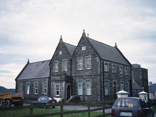 The Cable Stationcoastguard station · 1472 yd
 Butler MemorialMemorial · 1.0 mi
 T. C. Millerick MemorialMemorial · 1.1 mi
 Waterville PromenadeWalking route · 1.2 mi
 CastleCastle, tower house · 1.5 mi
 Inny StrandBeach / strand · 1.8 mi
 Reenrow BeachBeach / strand · 2.6 mi
 Emlagh LoopWalking route · 2.7 mi
 An Bheann MhórMountain / peak · 2.9 mi