
What is recorded here
Indicated is a collapsed stone ringfort in County Galway, its wide base buried under grass and its thin top reduced to a low ridge. The stones may have marked a boundary, a home or a warning, but time has erased the shape that gave them meaning. What remains is a circle of pressure, still turning inside the earth, waiting for someone to remember why it was built.
In grassland and rock outcrop. Very poorly preserved subcircular cashel (29m N-S; 26.2m E-W) defined by a collapsed drystone wall (base Wth 6.7-8.3m; Wth at top 1.4-2.4m; int. H 0.68-1m; ext. H 0.6-0.77m). There is a Man-made underground passage (GA128-082001-) in the N sector of the interior.
Compiled by: Galway Archaeological Survey, UCG
Date of upload: 25 April 2018
The monument record does not grant public access. Check the route and ask the landowner before entering private land.
- What survives
- Recorded monument
Places near here
 Bunnakippaun Castle (in ruins)Castle, unclassified · 794 yd
 Enclosure in TermonEnclosure · 1002 yd
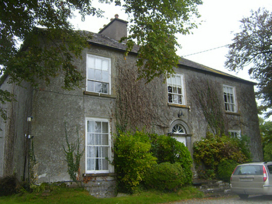 Lisheen Housecountry house · 1493 yd
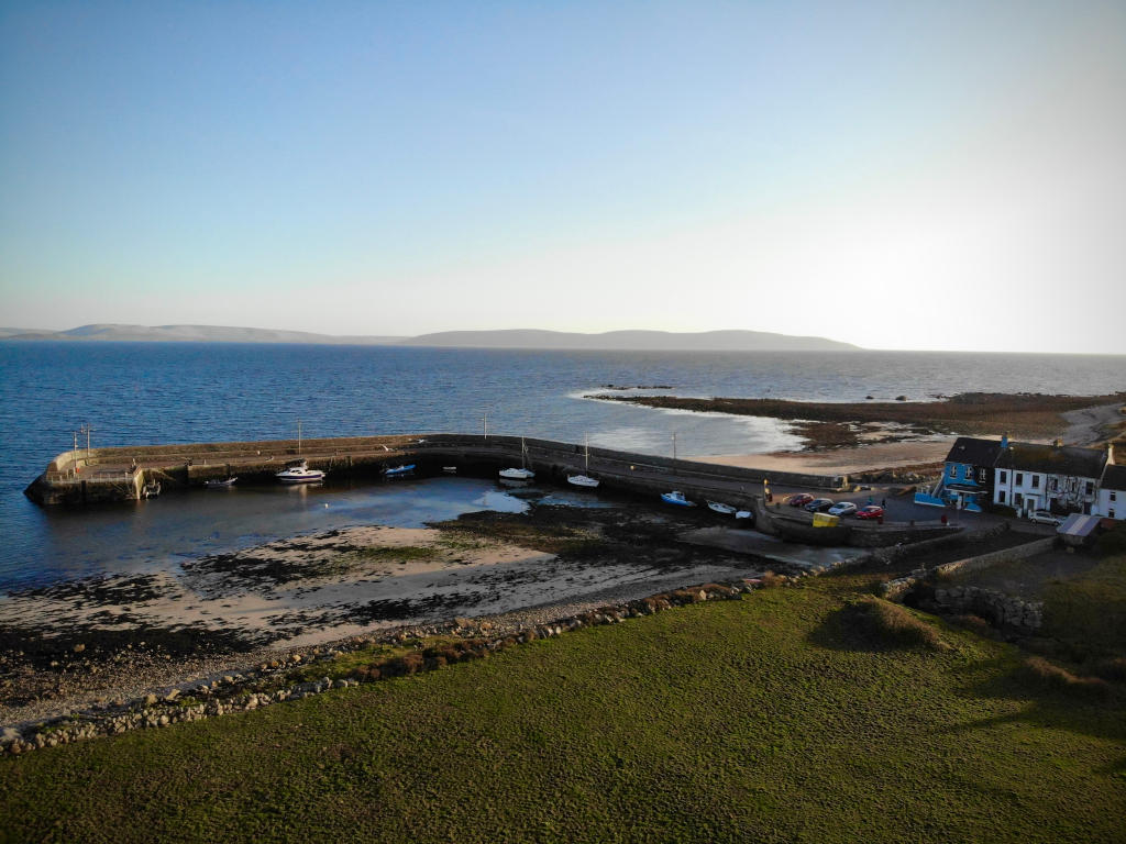 Fulacht fia in Barna (kiltartan By.)Fulacht fia · 1685 yd
 Bawn in Fiddaun (kiltartan By.)Bawn · 1.1 mi
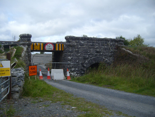 bridgebridge · 1.4 mi
 Kilmacduagh MonasteryHeritage attraction · 1.5 mi
 Kilmacduagh Monastic SiteVisitor information · 1.6 mi
 Swan IslandIsland · 3.2 mi
 Apple IslandWood · 3.6 mi
 Keaghery IslandWood · 3.7 mi
 Castle IslandIsland · 4.0 mi
Other information
Photo: Credit not shown in the picture search · Rights wording not checked; contact us if this picture should be removed