What is recorded here
Indicated is a ruined stone ringfort hidden in Galway woodland, its collapsed wall barely visible beneath scrub and forgotten by most people who pass nearby. The fort contains a narrow rectangular outline and a shadowed hollow that may have been an underground passage, suggesting the place served more than simple shelter. It remains a quiet anomaly, the kind of location where human ingenuity and fairy trickery become difficult to separate.
In a low-lying area of woodland and scrub. This subcircular cashel (35m NE-SW), fair condition, is defined by a much-collapsed drystone wall (Wth 0.9-2m; H 0.2-0.6m) that is obscured by overgrowth. Few facing-stones are visible. A gap (Wth 1.2m) at SSE appears to be modern. A rectangular structure (L 5.5m; Wth 1.2m) immediately to its SSW may be the remains of an outhouse. In the NW quadrant of the interior a linear stone-filled hollow may be the collapsed remains of a possible Man-made underground passage (GA128-079001-).
Compiled by: Galway Archaeological Survey, UCG
Date of upload: 25 April 2018
The monument record does not grant public access. Check the route and ask the landowner before entering private land.
- What survives
- Recorded monument
Places near here
 Enclosure in TermonEnclosure · 418 yd
 TobermacduaghHoly well · 1219 yd
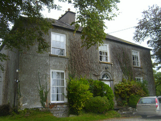 Lisheen Housecountry house · 1272 yd
 Bunnakippaun Castle (in ruins)Castle, unclassified · 1327 yd
 Kilmacduagh MonasteryHeritage attraction · 1572 yd
 Church of St. John the Baptist (in ruins)Church · 1628 yd
 Shanclogh Glebe House (in ruins)Castle, hall-house · 1679 yd
 Kilmacduagh Monastic SiteVisitor information · 1698 yd
 Swan IslandIsland · 3.5 mi
 Apple IslandWood · 3.7 mi
 Coole-Garryland Nature ReserveNature reserve · 3.8 mi
 Castle IslandIsland · 4.0 mi