What is recorded here
O’Kelly and Westropp measured the same small ring in Tankardstown, yet they recorded different sizes because the earthwork sat on a mound cut by a road and trench. That is still plausible. A shifting ridge, broken ring or buried edge could change what a tape reaches. The grove keeps the difference alive instead of forcing one number to wear the whole place.
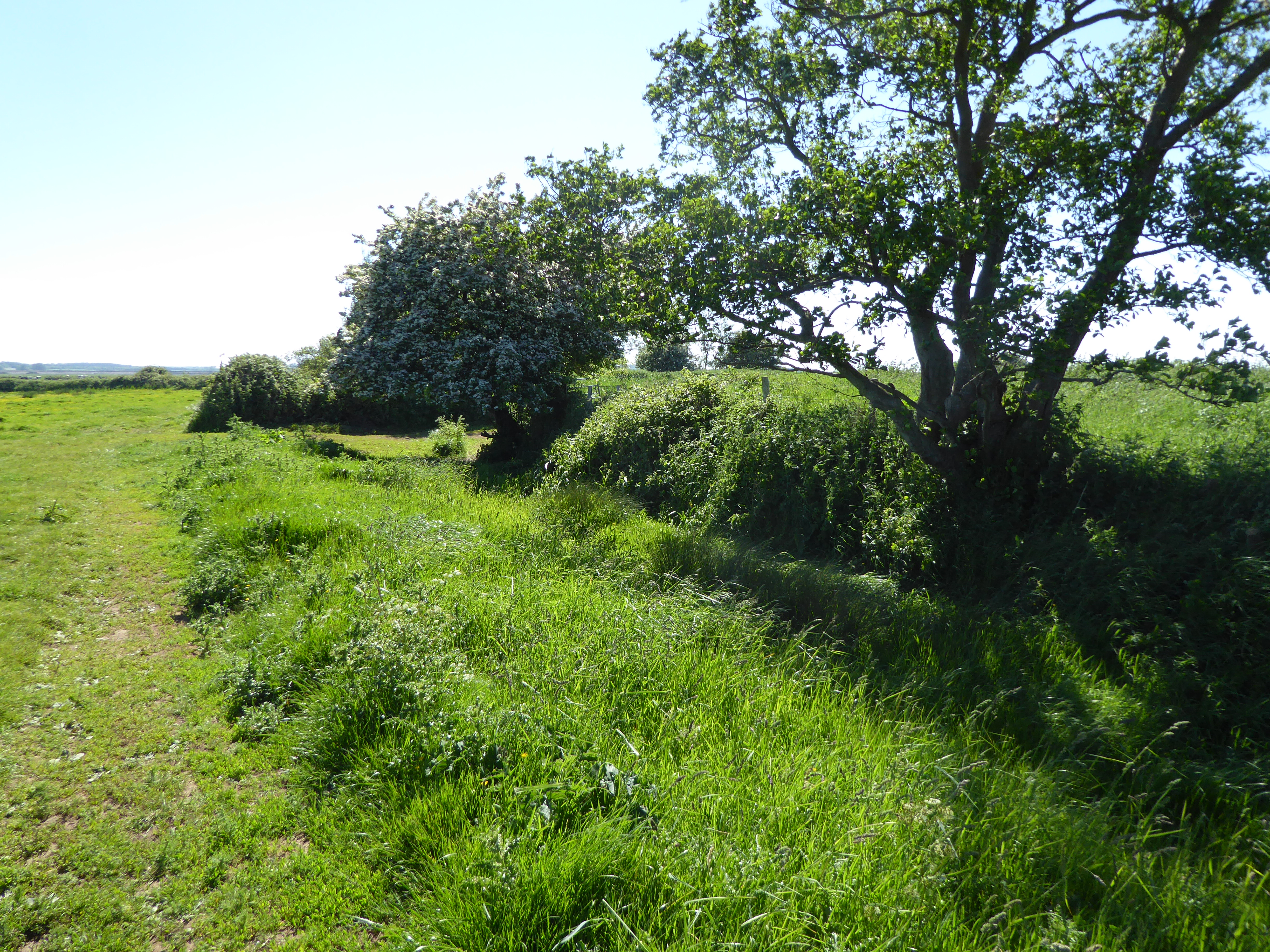
In small grove of trees. Not marked on the 1840 ed. OSi 6-inch map. Not visible due to dense cover of vegetation. Described by O’Kelly (1942, 52-3) as a 'Type B earthwork' consisting of; ‘A very small structure situated on the top of a mound which may be natural or partly artificial. It consists of a slight platform on the edge of which there is a bank surrounded on the outside by a fosse. The overall diameter is 36’ [10.9m]. The mound on which it stands has been cut on the one side by the public road and on the other by a drainage trench’.
Levelled monument described by Westropp (1916-17, 492) as; 'To the east of the road, which cut off an angle of field near a little stream, is a very small house-ring. I found no one to explain, but it was unmown and ungrazed, and may be an old burial-place. It is oval, only 21 feet [6.4m] north and south and 24 feet [7.3m] east and west inside; its ring, hardly a foot high inside, rises 4 feet [1.2m] over a fosse 3 feet [0.9m] deep and 6 feet [1.8m] wide, the ring being of the same width.’
See attached Google Earth orthoimages.
Compiled by: Fiona Rooney
Date of upload: 6 May 2021
The monument record does not grant public access. Check the route and ask the landowner before entering private land.
- What survives
- Recorded monument
Places near here
 Enclosure in TankardstownEnclosure · 55 yd
 BarrowBarrow, ditch barrow · 332 yd
 Greenpark Housecountry house · 1680 yd
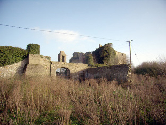
 Ballygrennan Castle (in ruins)Castle, tower house · 1.2 mi
 post boxpost box · 1.2 mi
 Site of Bulgaden HallCastle, unclassified · 1.4 mi
 KnockainyMountain / peak · 3.1 mi
 Flat cemetery in Knockainy WestFlat cemetery · 3.5 mi
 St Patrick's WellSpring · 5.5 mi
 Ballinvreena LoopVisitor information · 5.7 mi
 Edmund's WellSpring · 5.7 mi
 SlievereaghMountain / peak · 7.2 mi