What is recorded here
Located within the NE sector of Lough Rea, this is one of six crannogs (see also GA105-198----, GA105-198001-, GA105-198002-, GA105-198003----- and GA105-224----) in this area of the lake. This example is roughly subrectangular in plan (c. 11m E-W; c. 3.5m N-S). It is overgrown with trees. The crannog appears to be sited on a natural reef (information from K. McDonald).
Compiled by: Galway Archaeological Survey, UCG
Date of upload: 9 January 2020
The monument record does not grant public access. Check the route and ask the landowner before entering private land.
- What survives
- Recorded monument
Places near here
 Bush IslandIslet · 250 yd
 St. Brendans WellHoly well · 260 yd
 Middle IslandIslet · 303 yd
 Saint Brendan's Catholic Cathedralcathedral · 318 yd
 St. Brendans Catholic CathedralCathedral · 325 yd
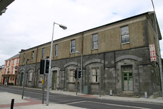 Loughrea Town Halltown/county hall · 383 yd
 Long PointHeadland · 1137 yd
 Ballygasty Castle in ruinsCastle, unclassified · 1.5 mi
 Raruddy Castle (in ruins)Castle, tower house · 1.8 mi
 Turoe StoneHeritage attraction · 4.0 mi
 Dartfield Horse MuseumHeritage attraction · 4.3 mi
 Scalpeen RockNamed rock · 5.4 mi