
What is recorded here
Not marked on OS 1836 or 1876 eds. Situated adjacent to the Black River within a dense modern plantation of coniferous trees. Described by Richardson (1941, 35) as a small circular dry stone-built structure (int. diam. c. 1.8m; H c. 1.2m) of beehive-type construction, roofed internally by two slabs which had collapsed. It had a low entrance (H c. 0.9m; Wth c. 0.4m) the lintel of which had been raised at one time. The structure had no chimney. Not visited.
The above description is derived from the published 'Archaeological Inventory of County Cavan' (Dublin: Stationery Office, 1995). In certain instances the entries have been revised and updated in the light of recent research.
Date of upload/revision: 22 December 2008
Linked to Saint Brigid, the well was traditionally visited for cures related to skin ailments and fevers, with pilgrims often performing ritual washing or leaving offerings. Local folklore suggests that the site was once more prominent but was obscured by later afforestation and agricultural changes.
The monument record does not grant public access. Check the route and ask the landowner before entering private land.
- What survives
- Recorded monument
Places near here
 Enclosure in Corlea (tullyhaw By.)Enclosure · 1260 yd
 Enclosure in CorrahoashEnclosure · 1545 yd
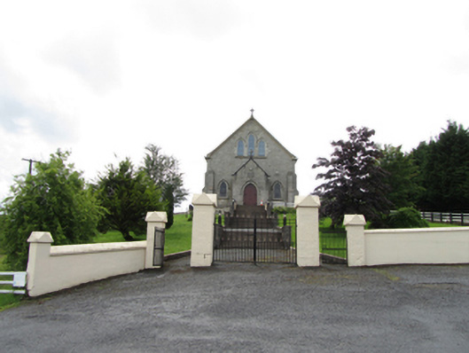 Church of the Immaculate Conceptionchurch/chapel · 1569 yd
 Corratober UpperMountain / peak · 1.0 mi
 TobermurrySpring · 1.5 mi
 CarrickbrannanMountain / peak · 1.7 mi
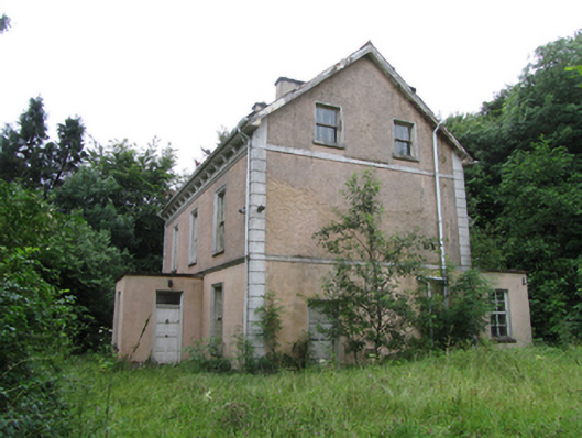 Corrard Househouse · 1.8 mi
 Corrard ForestForest · 1.9 mi
 Shannon PotSpring · 2.2 mi
 Legnashinna CavernCave · 2.2 mi
 Republican Garden of RemembranceMemorial · 2.9 mi
 PlaygroudCliff · 3.0 mi
Other information
Photo: Credit not shown in the picture search · Rights wording not checked; contact us if this picture should be removed