What is recorded here
The official Northern Ireland record identifies this as Submerged Landscape. Recorded period: PREHISTORIC. The official map point was placed at the centre of the recorded archaeological site from the source map reference.
The monument record does not grant public access. Check the route and ask the landowner before entering private land.
- What survives
- Recorded monument
Places near here
 Arthur ChambersShop · 93 yd
 Victoria MonumentMemorial · 182 yd
 Queen Victoria MonumentMonument · 183 yd
 Titanic MemorialMonument · 193 yd
 William James PirrieMemorial · 194 yd
 Belfast City HallHeritage attraction · 237 yd
 Lord Dufferin MonumentMonument · 281 yd
 Donegall Square SouthVisitor information · 306 yd
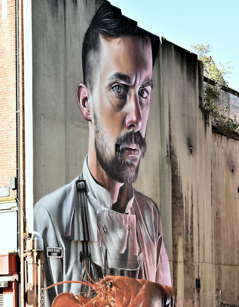 High StreetVisitor information · 393 yd
 Albert Memorial ClockHeritage attraction · 448 yd
 Clarence HouseHistoric building · 259 yd
 Scottish Provident BuildingOffice · 277 yd