What is recorded here
On a slight crest in a broad valley of gently undulating terrain. A circular area (diam. c. 10.4m) enclosed by eighteen stones with a large granite boulder at centre (H 0.8m; 1.1m x 0.8m). The mainly granite stones are quite evenly spaced (c. 50cm apart) and are of a broadly similar size (H c. 0.35m; 0.65m x 0.55m). The largest stone (H 0.4m; 0.95m x 0.8m) is at S. A bank has possibly been incorporated into the perimeter of the circle at SE.
Compiled by: Matt Kelleher
Date of upload: 10 January 2013
Probably dating to the Neolithic or Bronze Age, this stone circle may have had ceremonial or astronomical significance, with the central boulder possibly representing a focal point for rituals or communal gatherings. Such sites are often associated with ancestor veneration or seasonal festivals in prehistoric European traditions.
The monument record does not grant public access. Check the route and ask the landowner before entering private land.
- What survives
- Recorded monument
Places near here
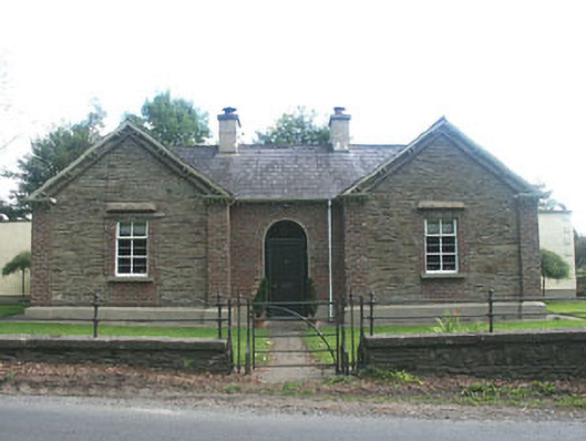 Tynte Parkgate lodge · 1.2 mi
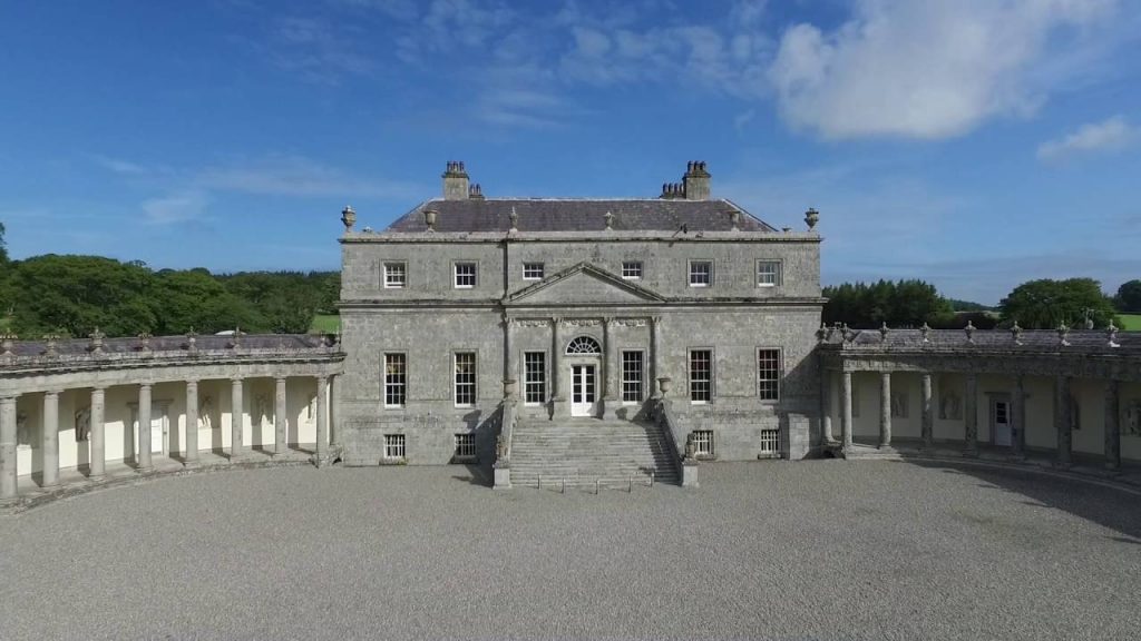 Enclosure in Mullycagh UpperEnclosure · 1.6 mi
 Ritual siteRitual site, holy/saint's stone · 1.7 mi
 Burial ground in CrehelpBurial ground · 1.7 mi
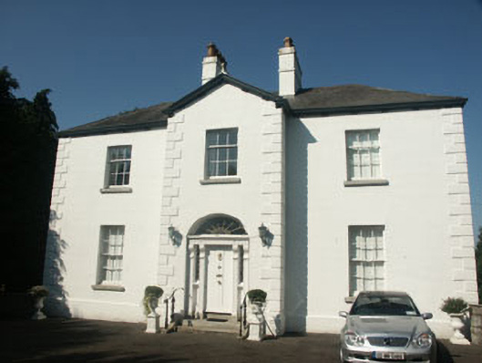 Catholic Church of Saint Nicholas of Myrapresbytery/parochial/curate's house · 1.8 mi
 Memorial to 1798 rebellionMonument · 1.9 mi
 Pedunculate OakPedunculate Oak · 2.8 mi
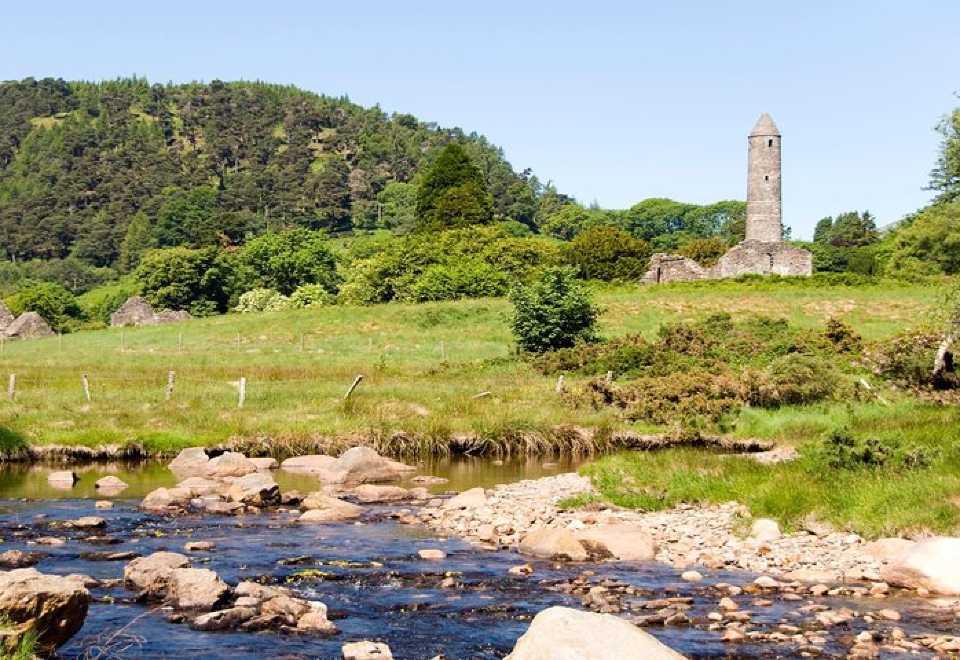 Ball MoatCastle, motte · 2.8 mi
 Church MountainMountain / peak · 2.9 mi
 Site of Fair GreenForest · 3.1 mi
 Saint Kevin's CaveMemorial · 3.4 mi
 Castle BankCastle, motte and bailey · 3.5 mi