What is recorded here
In pasture, in valley c. 50m E of headwater of Clodagh river. Possible five-stone circle; axial-stone and flanking stone survive. Former is 0.65m L, 0.35m T and 0.85m H. Latter is 0.75m L, 0.75m T and 1.2m H. Main axis appears to have been aligned E-W.
The above description is derived from the published 'Archaeological Inventory of County Cork. Volume 1: West Cork' (Dublin: Stationery Office, 1992). In certain instances the entries have been revised and updated in the light of recent research.
Date of upload/revision: 14 January 2009
Likely dating to the Neolithic or Bronze Age, this five-stone circle may have had ceremonial or astronomical significance, common to such sites in prehistoric Ireland. The axial stone and flanking stone suggest alignment with seasonal markers, though local folklore or specific use is not recorded.
The monument record does not grant public access. Check the route and ask the landowner before entering private land.
- What survives
- Recorded monument
Places near here
 Pookeen North TopMountain / peak · 728 yd
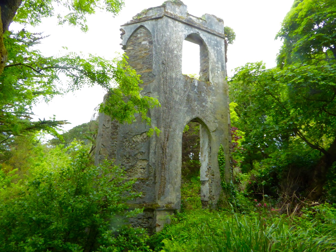 Enclosure in Cullenagh (carbery E. (w.d.) By.)Enclosure · 1244 yd
 Nowen HillMountain / peak · 1469 yd
 Clodagh Standing StonesArchaeological place · 1.3 mi
 Coolkellure Housecountry house · 1.9 mi
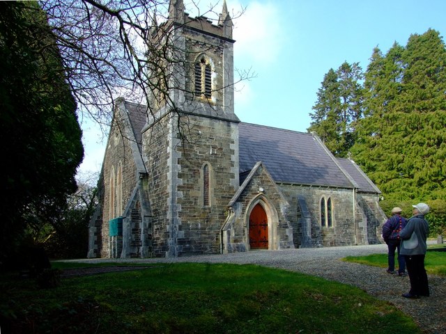 St. Edmund's Church of Ireland Churchchurch/chapel · 2.2 mi
 Castle Donovan (in Ruins)Castle, tower house · 2.7 mi
 Castle DonovanCastle · 2.7 mi
 Delish Cascade WalkWalking route · 2.9 mi
 Drimoleague Heritage Loop WalkWalking route · 3.7 mi
 Mohona WoodWood · 5.0 mi
 Graveyard in ToughmacdermodyGraveyard · 5.1 mi