
What is recorded here
Situated on edge of ridge, overlooking raised beach and sea to E. The NMI topographical file records three stones at the site, but only two are now visible. The two stones are large, shaley slabs set 9m apart. The N stone is the smaller (H 1.8m, 0.9m by 0.4m in section), orientated NW-SE. The S stone (H 2.9m, 1.2m by 0.3m in section) is also orientated NW-SE.
The above description is derived from both the published 'Archaeological Inventory of County Louth' (Dublin: Stationery Office, 1986) and the 'Archaeological Survey of County Louth' (Dublin: Stationery Office, 1991). In certain instances the entries have been revised and updated in the light of recent research.
See the attached view from N
Date of upload: 17 July 2007
Likely dating to the Late Neolithic or Bronze Age, the Baltray standing stones may have functioned as markers for ritual activity or territorial boundaries. Their alignment and coastal position suggest possible astronomical or ceremonial significance, though specific folklore or use remains undocumented.
The monument record does not grant public access. Check the route and ask the landowner before entering private land.
- What survives
- Recorded monument
Places near here
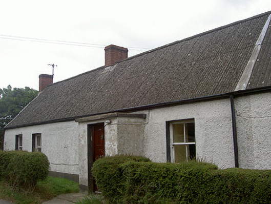 Lane Househouse · 324 yd
 Man-made underground passage in BaltrayMan-made underground passage · 432 yd
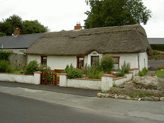 Tuí Naomh Áinehouse · 536 yd
 Not inidcatedEnclosure · 1089 yd
 Termonfeckin CastleCastle · 1.3 mi
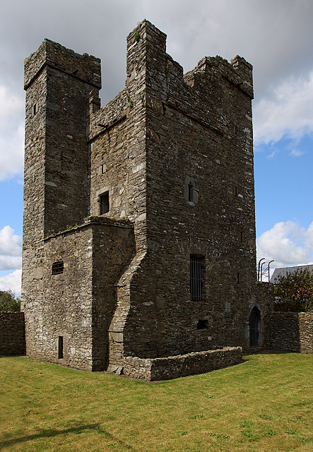 CastleCastle, tower house · 1.3 mi
 Beaulieu House and GardensHeritage attraction · 1.4 mi
 Battle of Julianstownbattle · 4.9 mi
 Newgrange Business ParkMemorial · 5.2 mi
 Yellow IslandIslet · 5.7 mi
 Grove IslandIslet · 6.0 mi
 MonasterboiceEarly monastic site · 6.7 mi
Other information
Photo: Kieran Campbell · CC BY-SA 2.0