What is recorded here
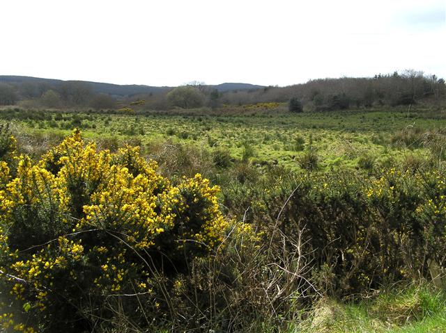
Standelstone stands in a Cashel field, its location lost to human memory but its shape still visible in the grass. It may have marked a boundary, a burial, a meeting place or a warning, yet no clear record survives to choose between those uses. The field around it has changed more often than the stone itself, which means the stone is not inactive. It is waiting for people to stop covering it with assumption and watch what the land still remembers.
The official Northern Ireland record identifies this as STANDING STONE (UNLOCATED). Recorded period: UNCERTAIN; PREHISTORIC. The official map point was placed at the centre of the recorded archaeological site from the source map reference.
The monument record does not grant public access. Check the route and ask the landowner before entering private land.
- What survives
- Recorded monument
Places near here
 LARGE ENCLOSURE & BURIAL GROUND (O.S. memoir site, unlocated) in KinnyglassLARGE ENCLOSURE & BURIAL GROUND (O.S. memoir site, unlocated) · 1.4 mi
 Springwell Forest (South)Forest · 2.0 mi
 TWO ENCLOSURES (O.S. memoir site, unlocated) in KillureTWO ENCLOSURES (O.S. memoir site, unlocated) · 2.6 mi
 Cam ForestForest · 2.8 mi
 Aghadowey Presbyterian ChurchChurch · 4.4 mi
 Keady MountainMountain / peak · 4.4 mi
 Donald's HillMountain / peak · 5.4 mi
 Ulster BankBank · 5.5 mi
 Quilley Picnic AreaPicnic place · 5.7 mi
 Ulster War Memorial Clock TowerMemorial · 5.7 mi
 Ballyhacket ViewPicnic place · 6.5 mi
 DrenaghCastle · 6.9 mi