What is recorded here
Cloch-a-Chora stood in Derryleckagh until removal erased its body, leaving only memory and a map point behind. Whether it marked a boundary, a burial, a meeting place or a warning, people once oriented their lives around that stone. Its absence does not diminish the area; it sharpens the loss.
The official Northern Ireland record identifies this as STANDING STONE (removed): CLOCH-A-CHORA. Recorded period: PREHISTORIC; UNCERTAIN. The official map point was placed at the centre of the recorded archaeological site from the source map reference.
Likely dating to the Neolithic or Bronze Age, this standing stone may have had ritual or territorial significance. The name "Cloch-a-Corra" (meaning "bell stone of the boundary") suggests a possible role in marking land divisions or sacred space.
The monument record does not grant public access. Check the route and ask the landowner before entering private land.
- What survives
- Recorded monument
Places near here
 A.P. SITEA.P. SITE, circular enclosure · 1140 yd
 ENCLOSURE in BenaghENCLOSURE · 1246 yd
 Crown BridgeBridge · 1.4 mi
 Goin Back AreaCliff · 1.7 mi
 Iron Hawk AreaCliff · 1.7 mi
 Crown Bridge NewBridge · 2.1 mi
 POST-MEDIEVAL CHURCH & GRAVEYARD: ST. PATRICK'S in NewryPOST-MEDIEVAL CHURCH & GRAVEYARD: ST. PATRICK'S · 2.2 mi
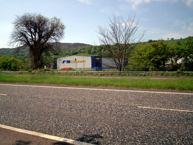 Greenbank TrailWalking route · 2.2 mi
 Newry and Mourne MuseumMuseum · 2.3 mi
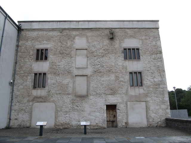 TOWER-HOUSE: BAGENAL'S CASTLE in NewryTOWER-HOUSE: BAGENAL'S CASTLE · 2.3 mi
 Bagenal's CastleCastle · 2.4 mi
 Basin Walk Car ParkVisitor information · 2.4 mi