What is recorded here
The stone, which is lying in a depression .8m deep, is contained within the bank of a ring-barrow (KE011-042001-) in the NW sector. It measures 1.6m high, .6m wide and .38m thick; however, only part of this stone is exposed and the area immediately surrounding it is waterlogged.
The above description is derived from C. Toal, ‘North Kerry Archaeological Survey’. Dingle. Brandon in association with FAS Training and Employment Authority (1995), no. 15. In certain instances the entries have been revised and updated in the light of recent research.
Date of upload: 1 August 2013
Probably dating to the Early Bronze Age, this standing stone was likely part of a funerary or ritual monument associated with the nearby ring-barrow. Its partial exposure and position within the barrow bank suggest it may have had symbolic or structural significance in burial practices.
The monument record does not grant public access. Check the route and ask the landowner before entering private land.
- What survives
- Recorded monument
Places near here
 Duagh Church (in ruins)Church · 1637 yd
 TobermurryHoly well · 1707 yd
 LisnabroArchaeological place · 1.2 mi
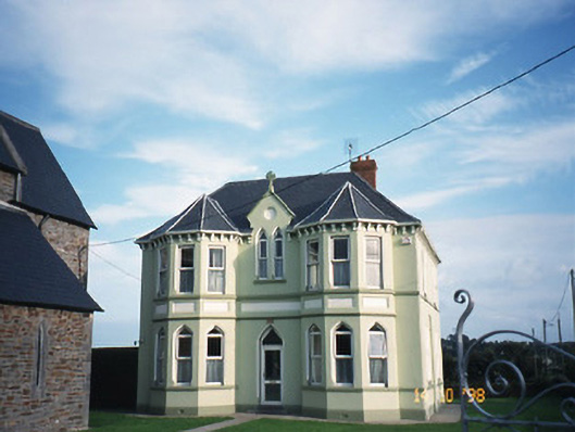 Saint Brigid's Catholic Churchpresbytery/parochial/curate's house · 1.5 mi
 Purt CastleCastle · 2.9 mi
 CastleCastle, tower house · 3.5 mi
 John B. KeaneMemorial · 4.6 mi
 Holocaust MemorialMemorial · 4.6 mi
 Lawson's CypressLawson's Cypress · 4.8 mi
 Kerry Writers' MuseumMuseum · 5.1 mi
 Lartigue MonorailMuseum · 5.4 mi
 Siege of Carrigafoyle Castlesiege · 11 mi