What is recorded here
Situated in an area of cut away bog with good views in all directions are the remains of a low upright stone (max. H 0.74m; Wth 0.7m; T 0.4m) which is roughly rectangular in section. Its long aixs is roughly orientated on a NW-SE axis. There is no evidence to suggest that this stone is a standing stone of prehistoric date. Appears to be a natural feature. There is no evidence of any packing stones around the base of the stone.
Likely dating to the Neolithic or Bronze Age, this standing stone may have functioned as a territorial marker, ceremonial focus, or astronomical alignment point. No specific folklore or detailed use is recorded for this site.
The monument record does not grant public access. Check the route and ask the landowner before entering private land.
- What survives
- Recorded monument
Places near here
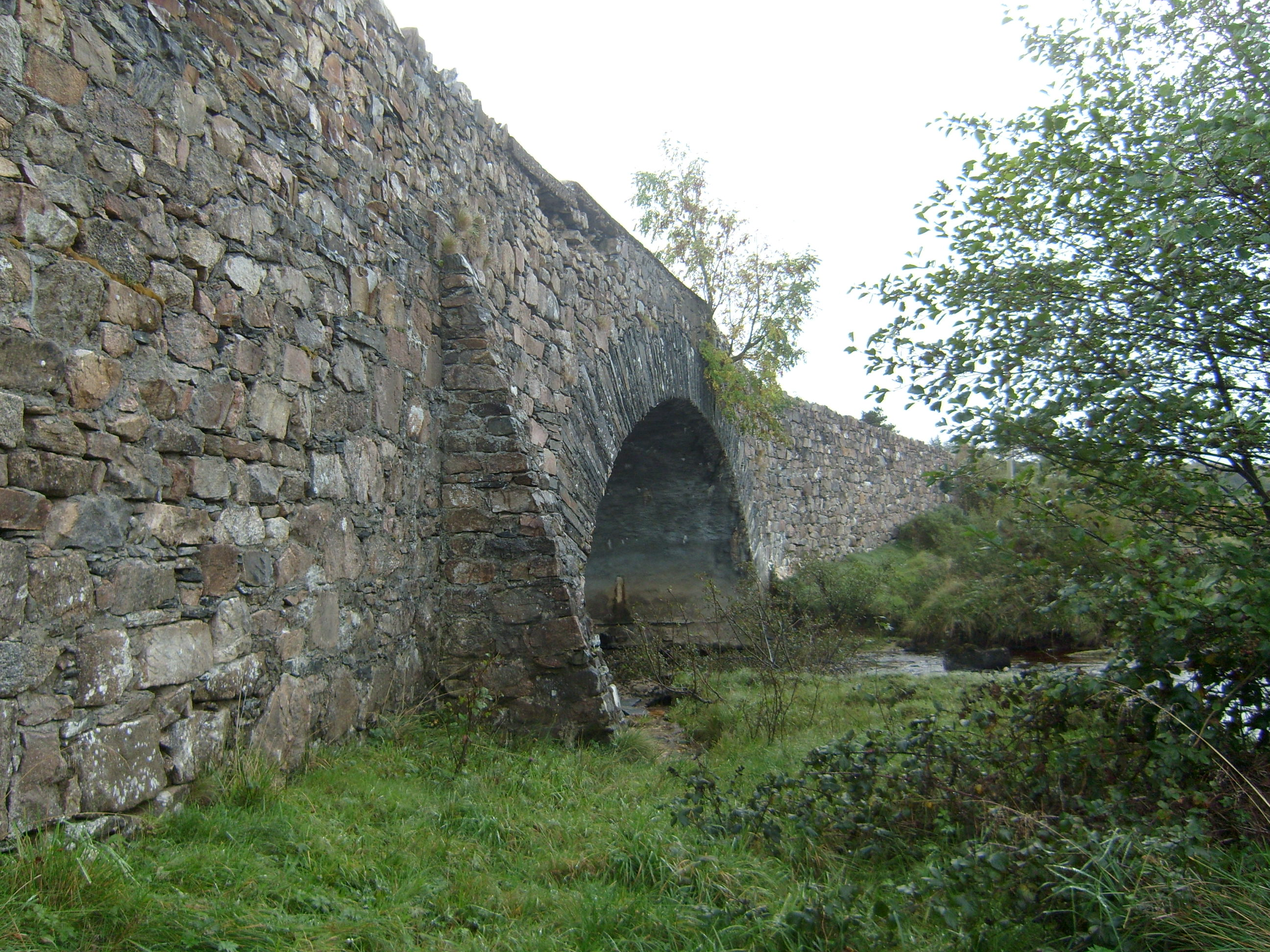 Owencarrow Bridgebridge · 1683 yd
 Owencarrow Viaductviaduct · 1.4 mi
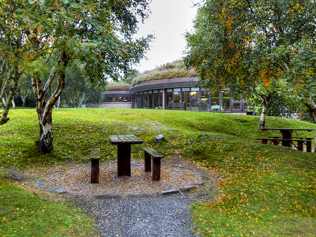 Glenveagh National Park Visitor CentreVisitor information · 1.4 mi
 Master Sword in StoneHeritage attraction · 1.6 mi
 Holy well in An Srath GreadaitheHoly well · 1.8 mi
 Sessile OakSessile Oak · 2.0 mi
 Bracken IslandIslet · 2.0 mi
 Craw IslandIslet · 2.1 mi
 Former Drumoghill Fairy FortFairy fort / earthen ringfort · 2.5 mi
 English hollyEnglish holly · 3.1 mi
 Glebe House and GalleryHeritage attraction · 4.2 mi
 MuckishMountain / peak · 4.5 mi