What is recorded here
Located in a small field or paddock in front of a series of buildings, including a dwelling house and sheds, on the S side of a large rounded hill. The dominant aspect id to the S, but there are good views also to the E and W.
This is an impressive standing stone, known locally as ‘Carriglea’. It is triangular in shape, measuring 1.5m in height, 1.6m in maximum width and 0.5m thick, and aligned E-W on its long axis. The type of stone is uncertain, but it appears to be a form of granite. It was formerly incorporated into a small field boundary. This must be in the recent past, as there is no settlement indicated here on the Ordnance Survey 1st edition map, or on the subsequent 25 inch map. The stone is marked as ‘Carriglea’ on both these maps.
Compiled by: Frank Coyne
Date of upload: 06 September 2013
The monument record does not grant public access. Check the route and ask the landowner before entering private land.
- What survives
- Recorded monument
Places near here
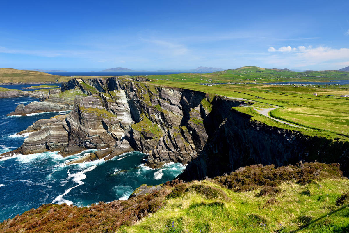 LisroeArchaeological place · 957 yd
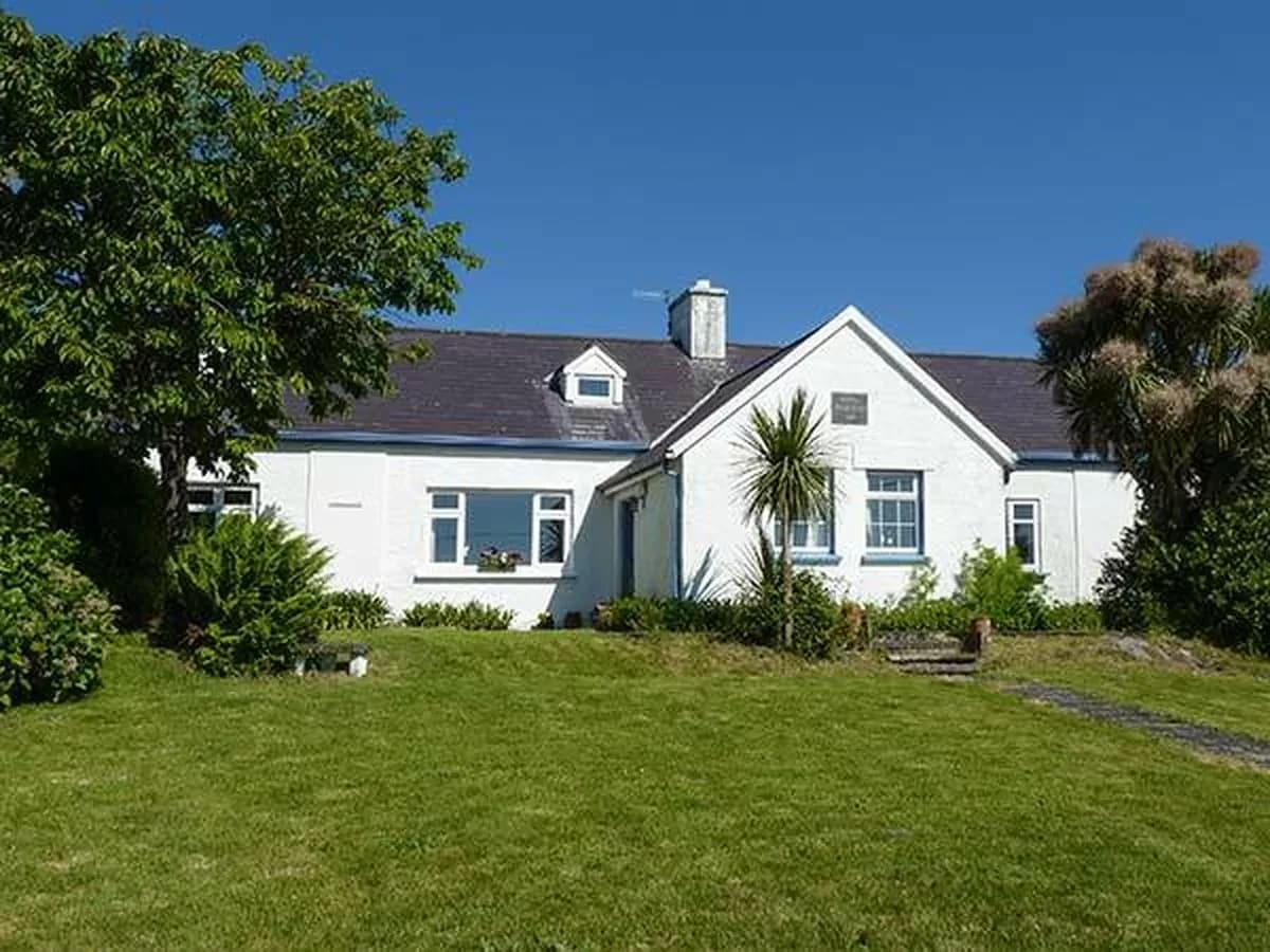 CahergalArchaeological place · 1.1 mi
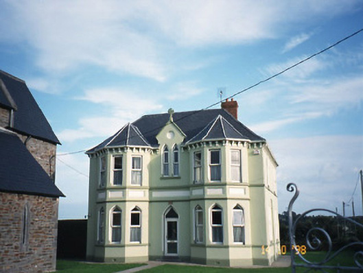 Saint Brigid's Catholic Churchpresbytery/parochial/curate's house · 1.3 mi
 Duagh Church (in ruins)Church · 1.7 mi
 CastleCastle, tower house · 2.8 mi
 John B. KeaneMemorial · 3.5 mi
 Holocaust MemorialMemorial · 3.5 mi
 Listowel Castle (in ruins)Castle, tower house · 3.8 mi
 Kerry Writers' MuseumMuseum · 3.8 mi
 Lartigue MonorailMuseum · 4.2 mi
 Stack's MountainMountain / peak · 9.3 mi
 Kilflynn Nature ReserveNature reserve · 9.8 mi