What is recorded here
Knockeenadallane once held two standing stones on M. Nunan's land, but both were broken and removed before anyone could measure them. A third stone also stood there, meaning three markers watched the same field at once. They are gone now, leaving no exact spot to point at, only a field that may still remember the weight of what it lost.
One of two standing stones (10072) recorded by Bowman (1934, 259) on M. Nunan's land; '...broken and removed'. Exact location not known. Third standing stone (10070) also in M. Nunan's land.
The above description is derived from the published 'Archaeological Inventory of County Cork. Volume 4: North Cork' (Dublin: Stationery Office, 2000). In certain instances the entries have been revised and updated in the light of recent research.
Date of upload/revision: 14 January 2009
The monument record does not grant public access. Check the route and ask the landowner before entering private land.
- What survives
- Recorded monument
Places near here
 BarrowBarrow, ring-barrow · 1262 yd
 Burial ground in Doonasleen SouthBurial ground · 1.2 mi
 Doon Bridgebridge · 1.7 mi
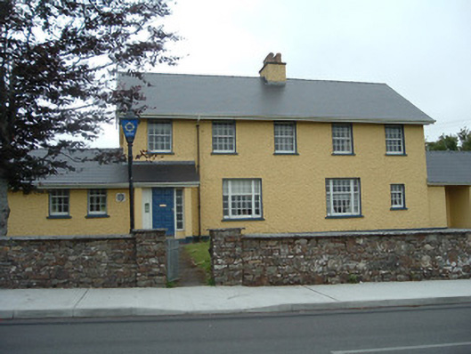 Knocknagree Garda Stationgarda station/constabulary barracks · 1.7 mi
 Nohaval WoodWood · 2.9 mi
 Dromsicane Castle (in Ruins)Bawn · 5.4 mi
 Claragh MountainMountain / peak · 6.5 mi
 Millstreet Museum & Tourist Information CentreMuseum · 6.5 mi
 Barna BogForest · 6.5 mi
 Claragh Loop (Trailhead 99)Visitor information · 6.5 mi
 Millstreet Tourist InformationVisitor information · 6.6 mi
 Caherbarnagh NW TopMountain / peak · 6.7 mi