What is recorded here
In pasture, on top of a low rise in a generally flat area. An upright stone (H 1.3m; Wth at base 1.8m; Wth at shoulder 0.5m; T 0.2m) that is roughly triangular in profile and section, with its long axis aligned E-W. It leans slightly to the SW. The edges of the stone have been rubbed smooth by cattle, who have also poached the ground at its base. There are two other slabs embedded in the ground immediately to the N (L 1.3m; H 0.35m; T 0.25m) and to the S (L 1.4m; H 0.48m; T 0.1m) of the upright. Further smaller stones are strewn about the immediate vicinity.
Compiled by: Denis Power
Date of upload: 26 August 2011
Likely dating to the Neolithic or Bronze Age, this standing stone may have functioned as a territorial marker, ceremonial focus, or astronomical alignment point. No specific folklore or detailed local tradition is recorded for this site.
The monument record does not grant public access. Check the route and ask the landowner before entering private land.
- What survives
- Recorded monument
Places near here
 Mound in Killacolla (shanid By.)Mound · 751 yd
 Prospect HillMountain / peak · 779 yd
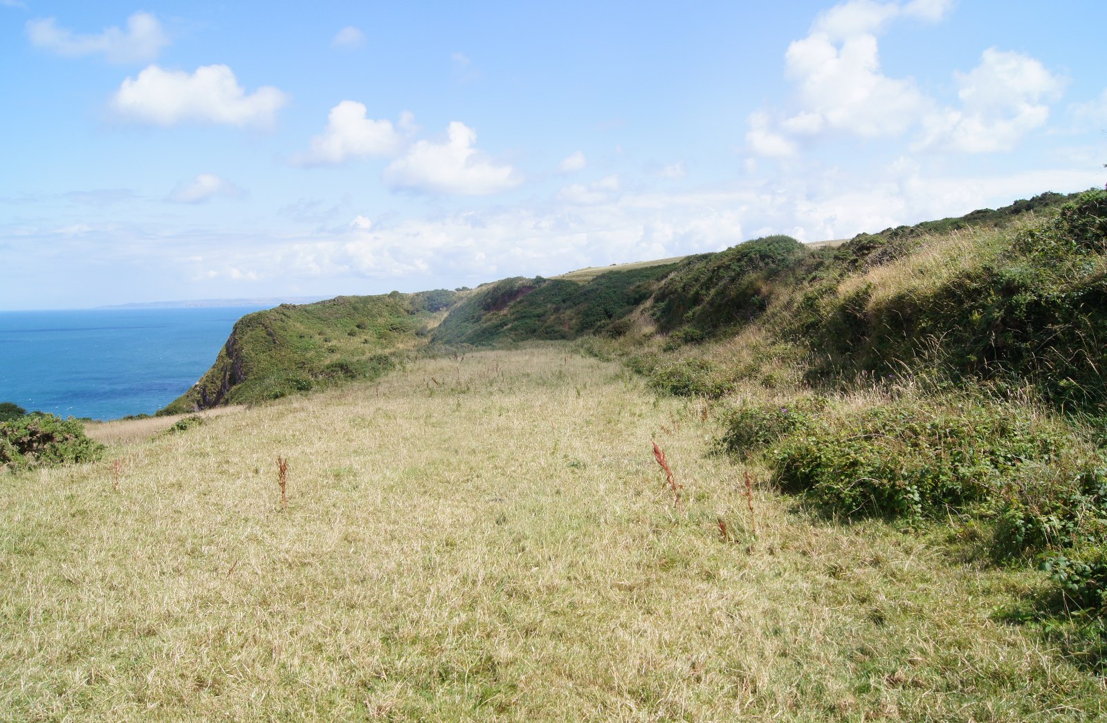 Field boundary in Killacolla (shanid By.)Field boundary · 819 yd
 IndicatedKiln, lime · 1419 yd
 Castle (Site of)Castle, unclassified · 1582 yd
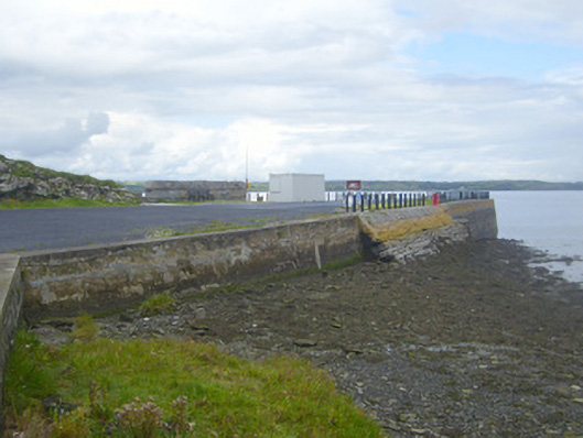 New Pierpier/jetty · 1.1 mi
 TobercloonaghSpring · 2.0 mi
 Loghill HoCastle, unclassified · 2.0 mi
 Mountshannon PointHeadland · 2.0 mi
 Mountshannon WoodWood · 2.1 mi
 Killanna PointHeadland · 2.5 mi
 Mountshannon EstateHeritage attraction · 2.8 mi