What is recorded here
Stand up the tall stone in that village and watch it tilt. Measure the shadow at noon, mark the base, and test whether the height matches the distance to the sea. A standing stone is not a child's toy; it is a ruler, a warning or a record. Ask what it points to before deciding whether it is sacred.
The Archaeological Survey of Ireland (ASI) is in the process of providing information on all monuments on The Historic Environment Viewer (HEV). Currently the information for this record has not been uploaded. To access available information for research purposes please make an appointment in advance with the Archive Unit (open Fridays 10.00 am – 5.00 pm), Department of Housing, Local Government and Heritage, The Custom House, Dublin 1 D01W6XO or email NMarchive@housing.gov.ie.
The monument record does not grant public access. Check the route and ask the landowner before entering private land.
- What survives
- Recorded monument
Places near here
 White Park FortArchaeological place · 646 yd
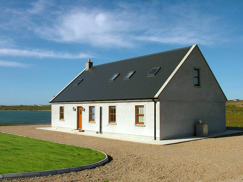 LisbaunFairy fort / earthen ringfort · 794 yd
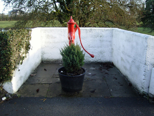 water pumpwater pump · 1479 yd
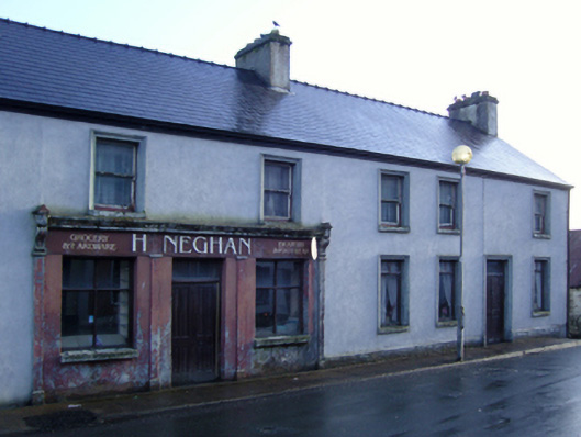 Heneghan'shouse · 1612 yd
%20(1).jpg) Guesdian CastleCastle · 1667 yd
Guesdian CastleCastle · 1667 yd Doonamona CastleCastle · 1.1 mi
 French Hill MonumentMemorial · 2.3 mi
 Cerberus, from Thomastown HouseMemorial · 2.5 mi
 Ballintubber AbbeyHeritage attraction · 3.3 mi
 Breaffy WoodsWood · 3.7 mi
 Black mulberryBlack mulberry · 3.8 mi
 Bird IslandIslet · 4.0 mi