What is recorded here
No stone is visible now, but the name Gallaun still stands on the southern slopes of Knockmoylemore, waiting for the earth to give back what it swallowed.
The name 'Gallaun' appears on the 2nd edition of the OS map at this location on the gentle S slopes of Knockmoylemore. It is not accompanied by any symbol and no standing stone is either visible in the field today or remembered locally.
The above description is derived from J. Cuppage, ‘Corca Dhuibhne. Dingle Peninsula archaeological survey. Ballyferriter. Oidhreacht Chorca Dhuibhne’ (1986), no. 140. In certain instances the entries have been revised and updated in the light of recent research.
Date of upload: 4 August 2013
The monument record does not grant public access. Check the route and ask the landowner before entering private land.
- What survives
- Recorded monument
Places near here
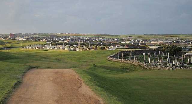 Fulacht fia in Baile An Bhúlaeraigh TheasFulacht fia · 304 yd
 Lios an BhaileArchaeological place · 371 yd
 An ChorrMountain / peak · 1655 yd
 Church in Lios DeargáinChurch · 1.1 mi
 An Cnoc Maol MórMountain / peak · 1.3 mi
 An ChonairViewpoint · 1.7 mi
 Mass-house in An Fearann (tc An Daingean),gort OnóraMass-house · 1.9 mi
 Maughanablagher CliffsCliff · 2.1 mi
 Ballintaggart Ogham StonesVisitor information · 2.3 mi
 CarrignawaddraNamed rock · 2.3 mi
 Castle (Site of)Castle, tower house · 2.4 mi
 Caol Cronin - SeascapesGallery · 2.4 mi